Geographic Information System Data
Welcome to the National Marine Sanctuary GIS Data Page. This page is starting out with the most basic and most requested NMSP GIS data files. All files on this page are FGDC metadata compliant. Therefore, data will be added as metadata is collected or generated.
All files are archived in WinZip format. You will need a program that can unzip files in order to access the files after downloading.
Free Data Readers available for download:
ESRI ArcExplorer
Google Earth
| Sanctuary File Description | File Format | Image | Metadata (HTML Page) | Zipped File for Download |
|---|---|---|---|---|
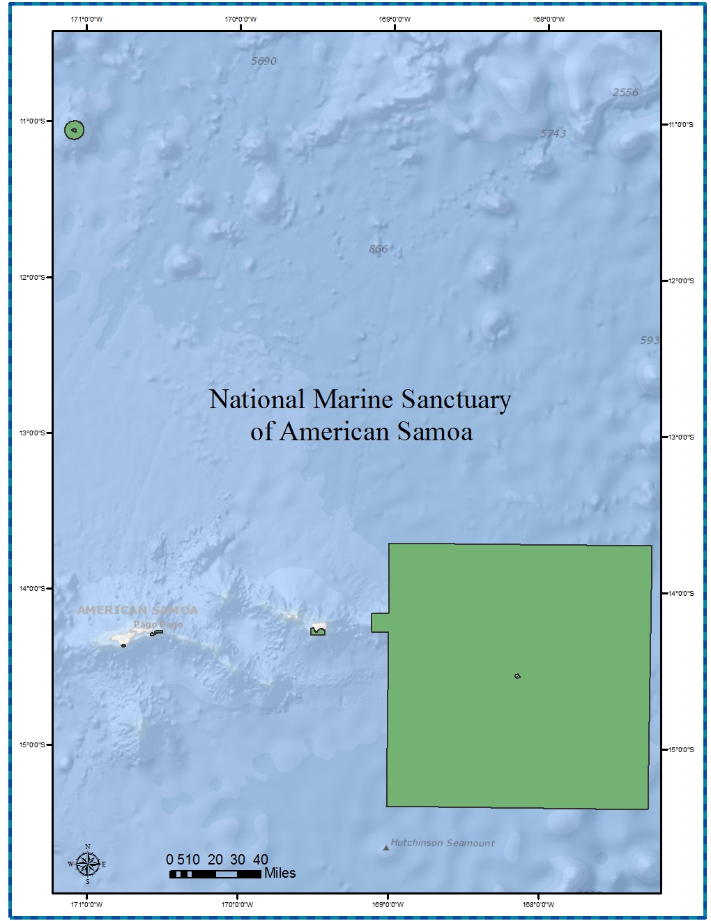
| American Samoa Boundary Polygon | ESRI Shape & Google KML Files | American Samoa Map | nmsas_py.html | 515 KB Zipped File |
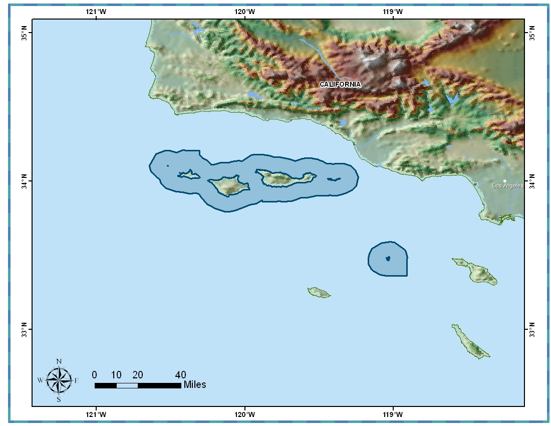
| Channel Islands Boundary Polygon | ESRI Shape & Google KMZ Files | Channel Islands Map | cinms_py.html | 164 KB Zipped File |
| Chumash Heritage Boundary Polygon | ESRI Shape & Google KML Files | Chumash Heritage Map | chnms_py.pdf | 6.1 MB Zipped File |
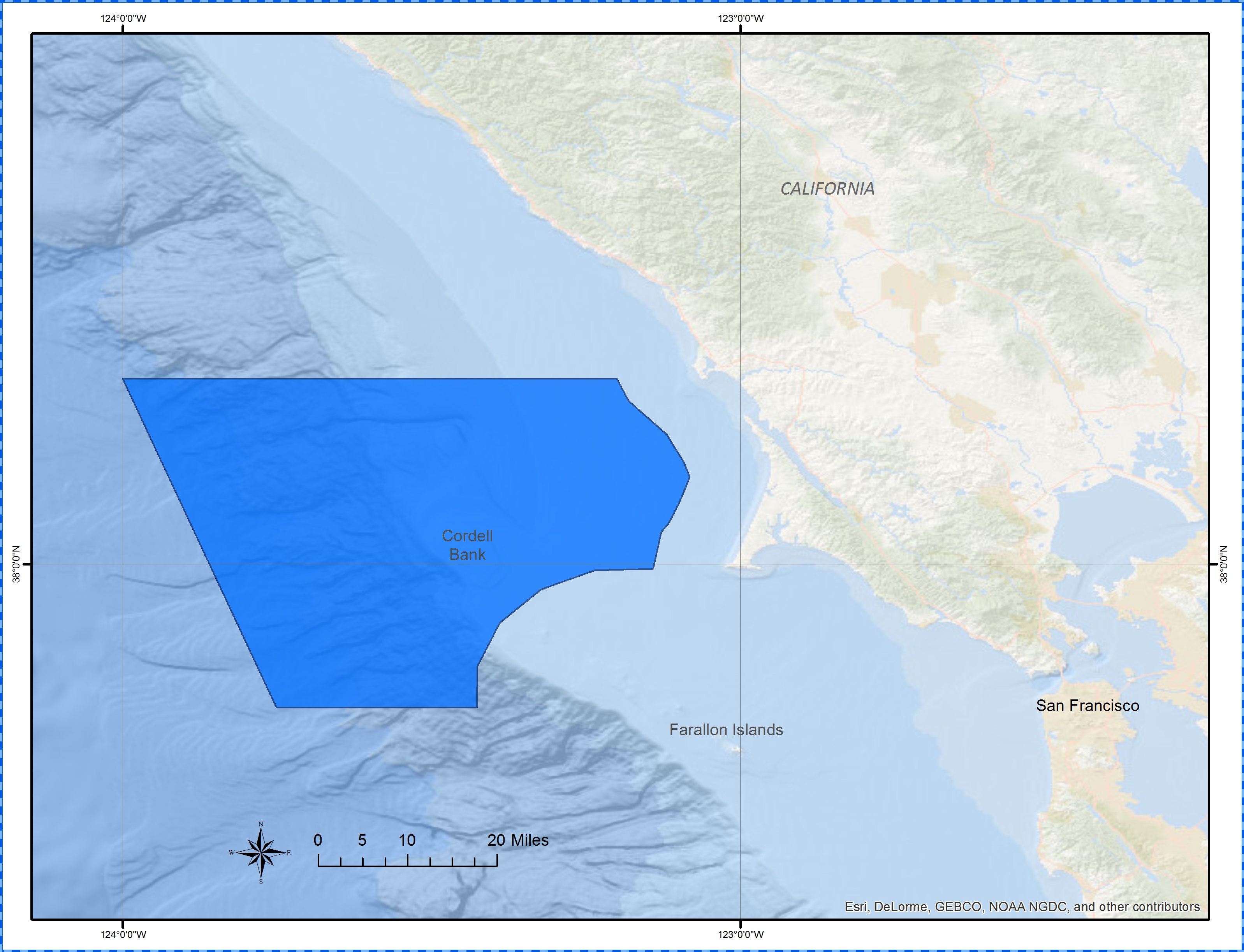
| Cordell Bank Boundary Polygon | ESRI Shape & Google KML Files | Cordell Bank Map | cbnms_py.html | 40 KB Zipped File |
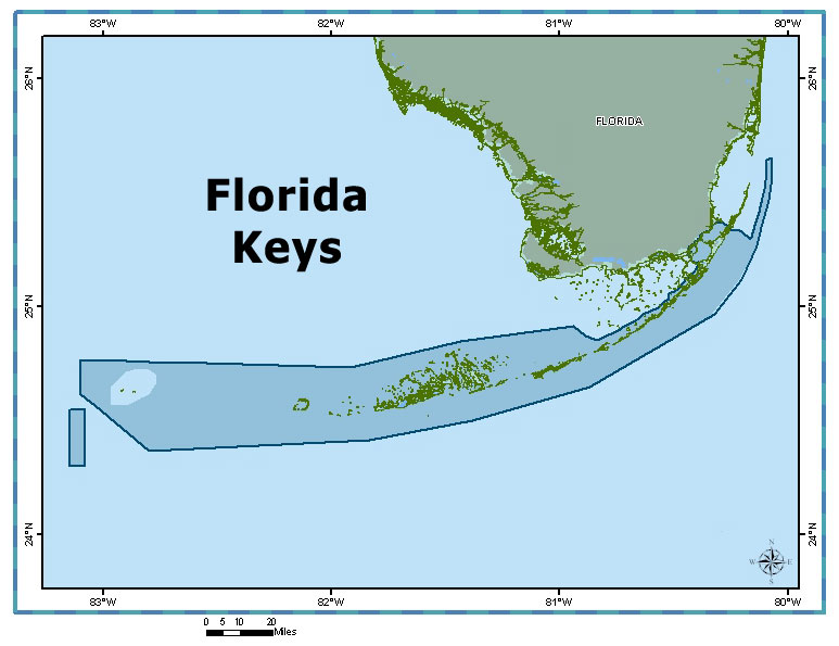
| Florida Keys Boundary Polygon | ESRI Shape & Google KML Files | Florida Keys Map | fknms_py.html | 904 KB Zipped File |
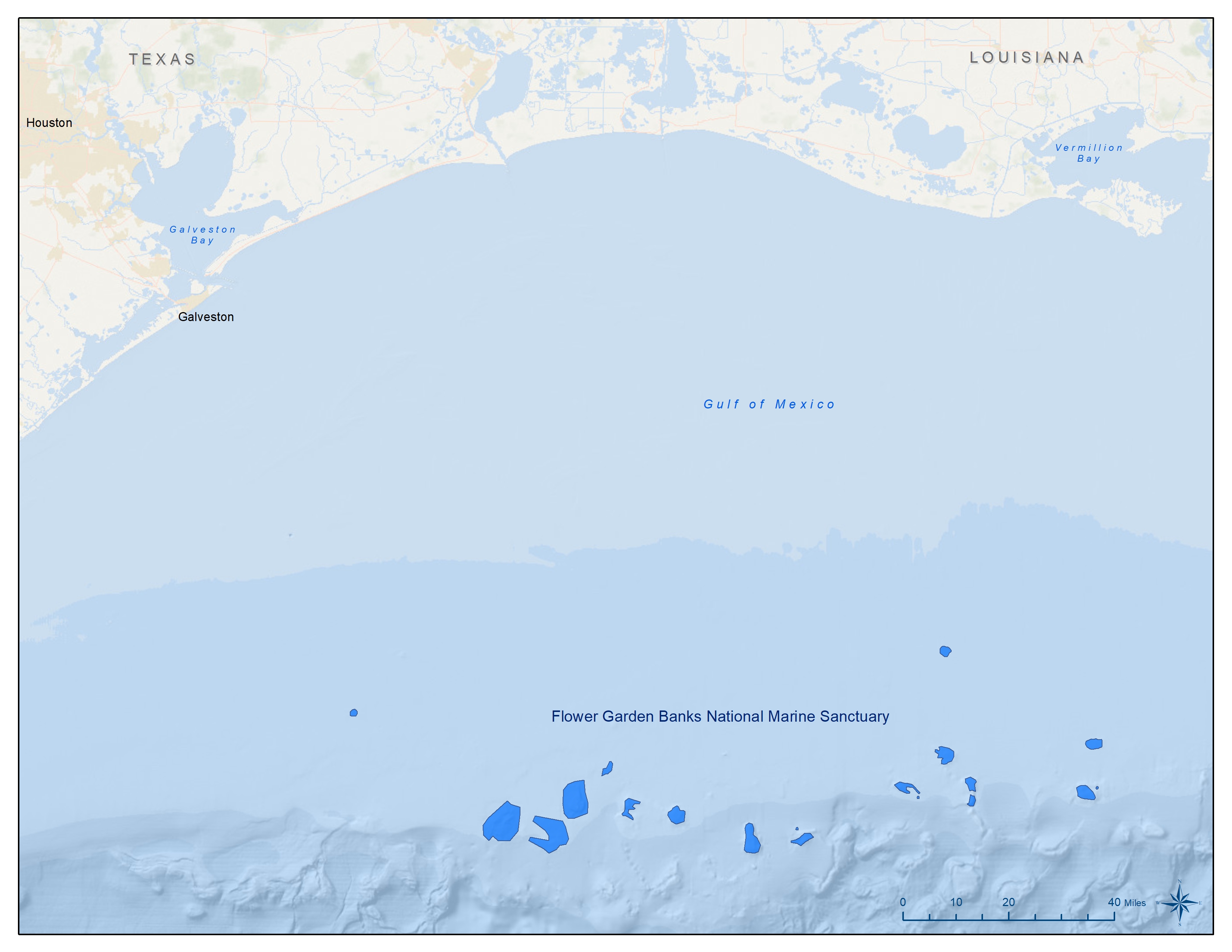
| Flower Garden Banks Boundary Polygon Updated 03/23/21 |
ESRI Shape & Google KML Files | Flower Garden Banks Map | fgbnms_py.pdf | 1.9 MB Zipped File |
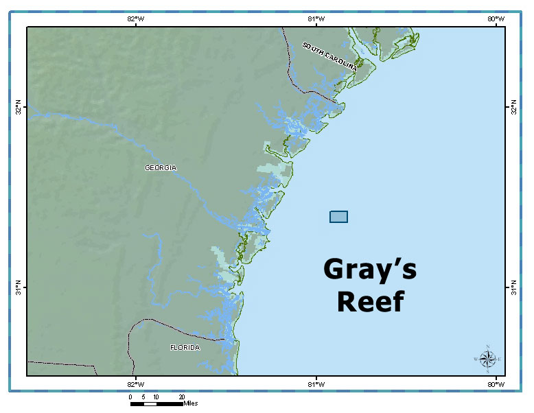
| Gray's Reef Boundary Polygon | ESRI Shape & Google KML Files | Gray's Reef Map | grnms_py.html | 24 KB Zipped File |
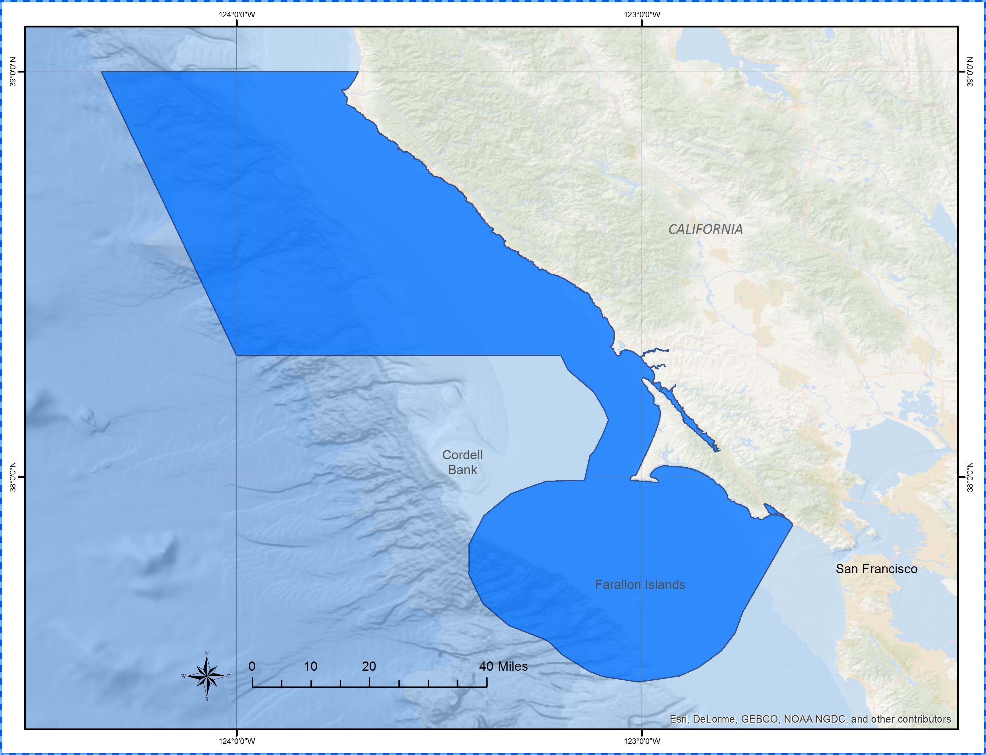
| Greater Farallones Boundary Polygon | ESRI Shape & Google KML Files | Greater Farallones Map | gfnms_py.html | 132 KB Zipped File |
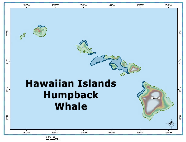
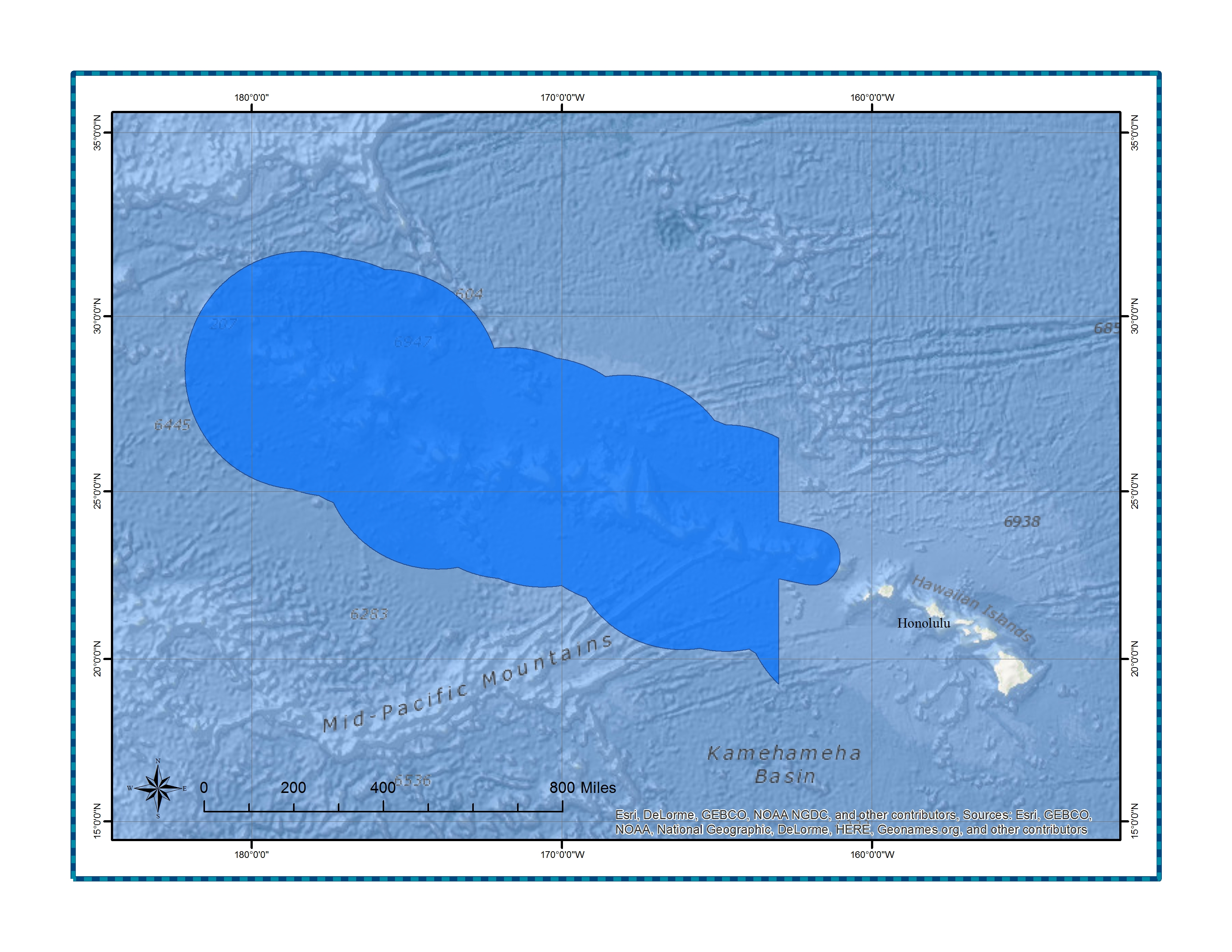
| Hawaiian Islands Humpback Whale Boundary Polygon | ESRI Shape & Google KML Files | Hawaiian Islands Humpback Whale Map | hihwnms_py.html | 436 KB Zipped File |
| Lake Ontario Boundary Polygon | ESRI Shape & Google KML Files | Lake Ontario Map | lonms_py.pdf | 6.9 MB Zipped File |
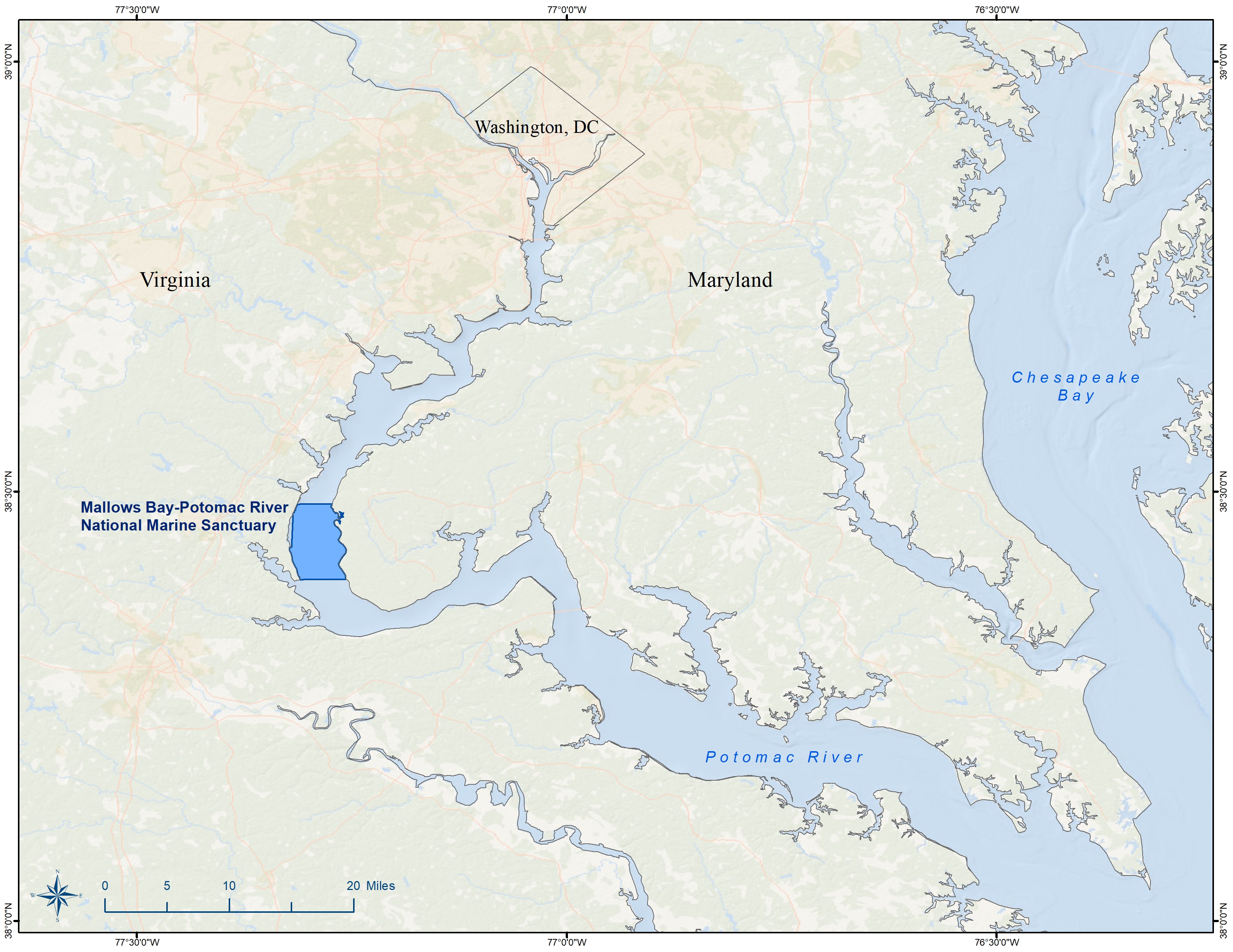
| Mallows Bay-Potomac River Boundary Polygon | ESRI Shape & Google KML Files | Mallows Bay-Potomac River Map | mbpr_py.pdf | 3.7 MB Zipped File |
| Monitor Boundary Polygon | ESRI Shape & Google KML Files | Monitor Map | mnms_py.html | 32 KB Zipped File |
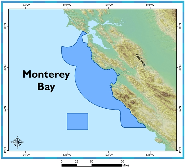
| Monterey Bay Boundary Polygon | ESRI Shape & Google KML Files | Monterey Bay Map | mbnms_py.html | 164 KB Zipped File |
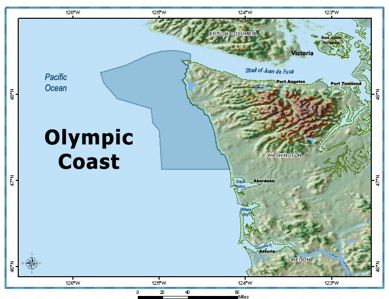
| Olympic Coast Boundary Polygon | ESRI Shape & Google KML Files | Olympic Coast Map | ocnms_py.html | 24 KB Zipped File |
| Papahānaumokuākea Boundary Polygon | ESRI Shape & Google KML Files | Papahānaumokuākea Map | pmnm_py.html | 3.8 MB Zipped File |
| Stellwagen Bank Boundary Polygon | ESRI Shape & Google KML Files | Stellwagen Bank Map | sbnms_py.html | 24 KB Zipped File |
| Thunder Bay Boundary Polygon | ESRI Shape & Google KML Files | Thunder Bay Map | tbnms_py.html | 84 KB Zipped File |
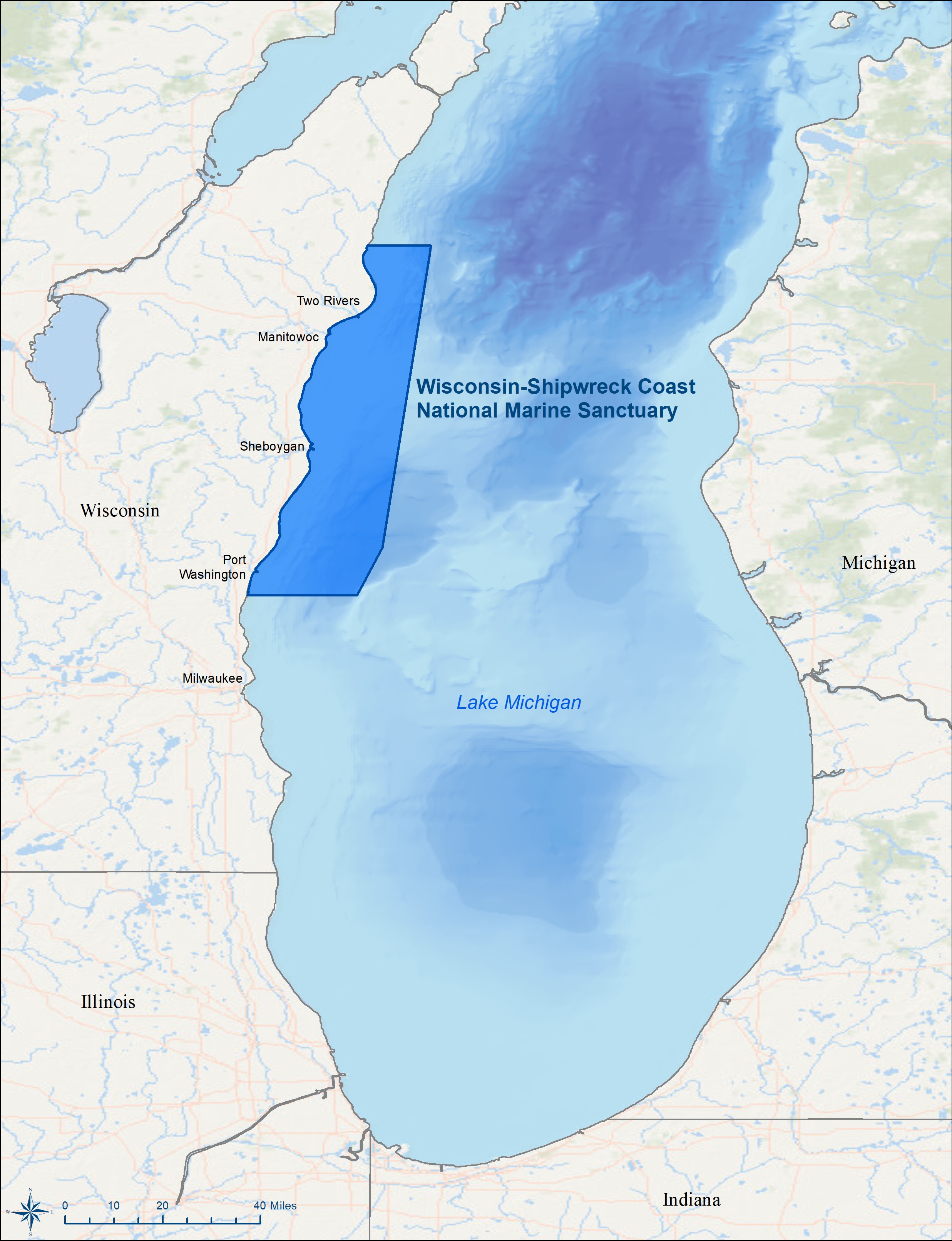
| Wisconsin Shipwreck Coast Polygon | ESRI Shape & Google KML Files | Wisconsin Shipwreck Coast Map | 2021-wisconsin-shipwreck-coast-national-marine-sanctuary.pdf | 3.8 MB Zipped File |