Announcing the recipients for the annual Sea to Shining Sea: Excellence in Interpretation and Education Award
April 2016
For three years, the NOAA’s Office of National Marine Sanctuaries has recognized outstanding achievement in the fields of interpretation and environmental education by presenting the Sea to Shining Sea Award: Excellence in Interpretation and Education. This annual award is given to employees, contractors and volunteers for their demonstrated success in advancing ocean and climate literacy and conservation through national marine sanctuaries, as well as for their innovation and creative solutions in successfully enhancing the public's understanding of the National Marine Sanctuary System and the resources it protects.
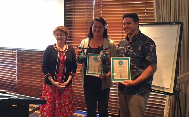
This year, the award is presented to ONMS contractors Kālewa Correa and Gene Brighouse, as well as to colleagues at XL Catlin Seaview Survey (Richard Vevers and Christophe Bailhache) for their program, The Spatial Storytelling of American Samoa.
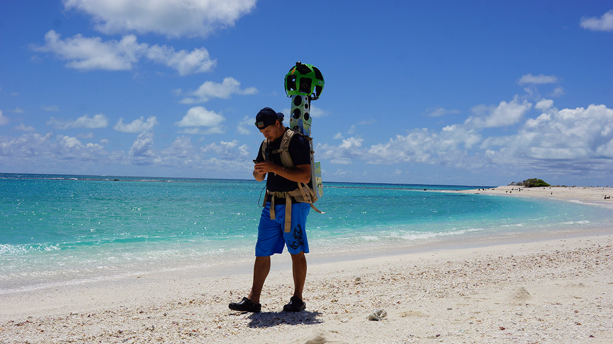
The Spatial Storytelling of American Samoa is part of a broader collaboration between the National Marine Sanctuary System, XL Catlin Seaview Survey and Google Street View. Built upon the concept of “Bringing the Place to the People,” this program seeks to bring the remote sanctuaries of the Pacific Region to the world without impacting the resources that sanctuaries seek to protect. It was originally launched in Papahānaumokuākea Marine National Monument in 2011 and has expanded to National Marine Sanctuary of American Samoa.
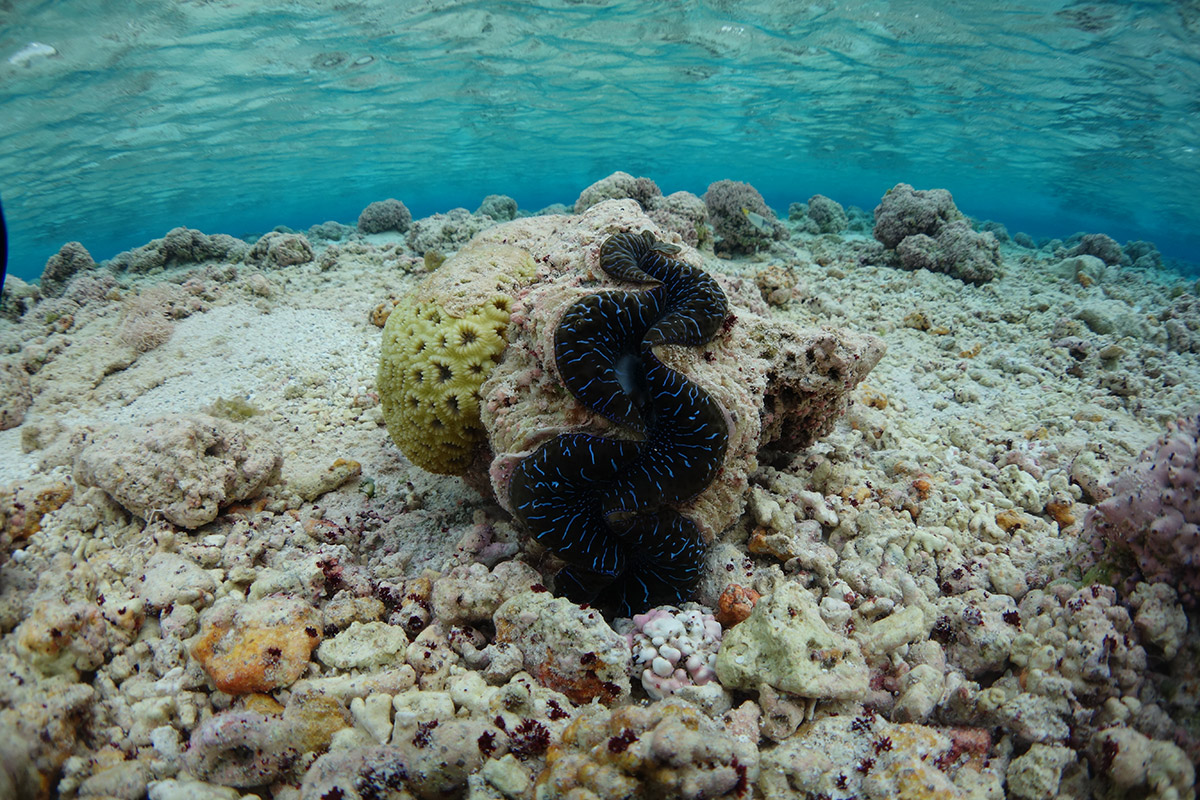
In 2014 and 2015, Papahānaumokuākea employee Kālewa Correa and XL Catlin Seaview Survey’s Richard Vevers and Christophe Bailhache captured underwater imagery of National Marine Sanctuary of American Samoa, aided by logistical and personal support by Gene Brighouse, National Marine Sanctuary of American Samoa superintendent, and the entire National Marine Sanctuary of American Samoa staff. This work has produced one of the largest complete datasets on Google Earth that has been incorporated into various education and outreach products, allowing people from around the world to experience the National Marine Sanctuary of American Samoa through immersive imagery. In addition, scientists and marine debris crews are using the data to plan routes and retrieval camps, and organizations like the U.S. Fish and Wildlife Service are using the data to leverage possible funding.
The imagery is spectacular in its detail and breadth, encompassing terrestrial, near-shore, and underwater images. As Gene Brighouse explains, this “collection of 360 degree imagery totally allows each person to experience reefs as if they are the ones diving.” With this partnership, National Marine Sanctuary of American Samoa truly has succeeded in bringing the place to the people.
The Sea to Shining Sea Award was presented in April 2016 at the National Association of Interpretation (NAI) International Conference in Wellington, New Zealand in front of attendees from around the world. Margo Carlock, Executive Director of NAI, presented the award on behalf of the Office of National Marine Sanctuaries.
Congratulations to our award winners for their excellence and dedication in enhancing ocean and climate literacy in national marine sanctuaries and enhancing the public's understanding of the National Marine Sanctuary System and the resources it protects through The Spatial Storytelling of American Samoa.