National Marine Sanctuary System and System-Wide Monitoring
The National Marine Sanctuary System manages marine areas in both nearshore and open ocean waters that range in size. Each area has its own concerns and requirements for environmental monitoring, but ecosystem structure and function in all these areas have similarities and are influenced by common factors that interact in comparable ways. Furthermore, the human influences that affect the structure and function of these sites have many similarities. For these reasons, in 2001 the program began to implement System-Wide Monitoring (SWiM). The monitoring framework (National Marine Sanctuary Program 2004) facilitates the development of effective, ecosystem-based monitoring programs that address management information needs using a design process that can be applied in a consistent way at multiple spatial scales and to multiple resource types. It identifies four primary components common among marine ecosystems: water, habitats, living resources and maritime archaeological resources.
By assuming that a common marine ecosystem framework can be applied to all places, the National Marine Sanctuary System developed a series of questions that are posed to every sanctuary and used as evaluation criteria to assess resource conditions and trends. The questions, which are shown on pages vi and vii and explained in Appendix A, are derived from both a generalized ecosystem framework and from the National Marine Sanctuary System's mission. They are widely applicable across the system of areas managed by the Office of National Marine Sanctuaries and provide a tool with which the program can measure its progress toward maintaining and improving natural and archaeological resource quality throughout the system.
Similar reports summarizing resource status and trends will be prepared for each marine sanctuary approximately every five years and updated as new information allows. The information in this report is intended to help set the stage for the management plan review process. The report also helps sanctuary staff identify monitoring, characterization and research priorities to address gaps, day-to-day information needs and new threats.
Olympic Coast National Marine Sanctuary
- Designated as a national marine sanctuary in 1994.
- The sanctuary extends 217 kilometers (135 miles) along the Washington coast from about Cape Flattery to the Copalis River. Ninety kilometers (56 miles) are shared with Olympic National Park and include some of the last remaining wilderness coastline in the lower 48 states.
- 29 species of marine mammals and over 100 species of seabirds spend at least part of their lives in the sanctuary
- Three national wildlife refuges, collectively called the Washington Island National Wildlife Refuges, are located within the sanctuary. These refuges are part of the WA Maritime National Wildlife Refuge Complex and protect over 600 named and unnamed offshore rocks, seastacks and islands. biota
- The sanctuary has sustained human communities for at least 6,000 years.
- The sanctuary lies within the traditional fishing areas for four coastal Indian tribes: the Makah, Quileute and Hoh Tribes and the Quinault Indian Nation.
- Over 180 documented shipwrecks have historical association with the Olympic Coast.
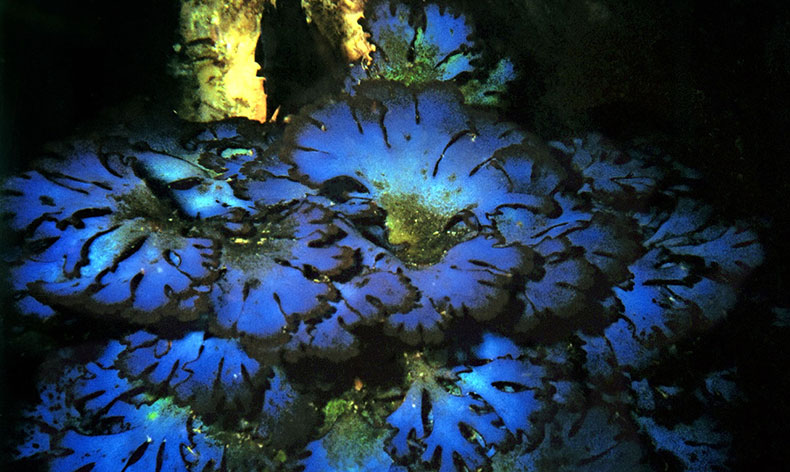
- The seaward boundary of the sanctuary varies from about 40 to 72 kilometers (25 to 45 miles) offshore. This covers the continental shelf as well as parts of three major submarine canyons. Sanctuary waters include many types of productive marine habitats, including nearshore kelp beds, subtidal reefs, rocky and sandy intertidal zones, submarine canyons, rocky deep-sea habitat, and plankton-rich upwelling zones, all of which support the sanctuary's rich biodiversity.