The monitoring projects in the following inventory take place in or around Channel Islands National Marine Sanctuary. Projects are conducted by either Sanctuary staff or by our partners. Summary information is presented for each.
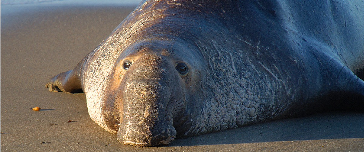
Describe pinniped population biology at San Miguel and San Nicholas Islands.
Aerial Monitoring of Pinnipeds
Lead
Mark Lowry (Southwest Fisheries Science Center)
Objective
Monitor pinniped populations within the Channel Islands, the state of California, and the western United States.
Photo Identification of Humpback and Blue Whales
Lead
John Calambokidis (Cascadia Research)
Objective
Assess the abundance, trends, movement patterns and stock structure of humpback and blue whales in the eastern North Pacific; examine the underwater behavior of whales; examine aspects of human impact on whales.
Sanctuary Aerial Monitoring Spatial Analysis Program
Lead
Ben Waltenberger (Channel Islands National Marine Sanctuary)
Objective
Map mammal and vessel distributions and provide emergency response.
Multi-Agency Rocky Intertidal Network (MARINe)
Lead
MARINe Manager: Mary Elaine Helix (Bureau of Ocean Energy Management), MARINe Coordinator: Dr. Jack Engle (Marine Science Institute)
Objective
MARINe monitors sites along the Pacific Coast using two different approaches: target assemblage monitoring (Core Monitoring) which is done biannually at 80 locations in California and Oregon, and biodiversity community sampling (Biodiversity Monitoring) which is done over a broader area (91 locations from Alaska to Mexico) but less often.
Plumes and Blooms
Lead
Nathalie Guillocheau (University of California-Santa Barbara)
Objective
Assess ocean color of the Santa Barbara Channel to monitor terrestrial sediment plumes, phytoplankton blooms, water quality and optics, SeaWIFS (ocean color/Chla)
Reef Environmental Education Foundation (REEF) Nearshore Fish Assemblage Monitoring
Lead
Christy Pattengill-Semmens (REEF)
Objective
Assess temporal distribution and abundance of marine fishes.
West Coast Observatories
Lead
Steve Katz (Channel Islands National Marine Sanctuary)
Objective
Collect data on oceanographic parameters including ocean temperature, current speed, dissolved oxygen, salinity, and fluorometry.
Tagging of Pacific Pelagics (TOPP)
Lead
Randall Kochevar (Monterey Bay Aquarium), Barbara Block (Stanford University), Dan Costa (University of California-Santa Cruz), Steven Bograd (Pacific Fisheries Environmental Laboratory)
Objective
Use archiving tags to track pelagic nekton and birds in the North Pacific to learn how they use the ocean environment. Species studied include white sharks, leatherback sea turtles, black-footed albatross, sooty shearwaters, and elephant seals.
Partnership for the Interdisciplinary Study of Coastal Oceans (PISCO)
Lead
Jennifer Caselle (University of California Santa Barbara)
Objective
Conduct experimental studies and long-term monitoring projects on west coast nearshore ecosystems, with emphasis on conservation, management, and public outreach.
Movement Patterns of Marine Fishes in Channel Islands National Marine Sanctuary
Lead
Jennifer Caselle (University of California Santa Barbara)
Objective
Document species caught in traps and assess movement patterns (scales of movement) at multiple scales for target. Correlate movement with features of habitat and fish density, and assess movement rates over reserve boundary.
Remote Sensing of the Channel Islands National Marine Sanctuary
Lead
Ben Waltenberger (Channel Islands National Marine Sanctuary)
Objective
Collect aerial and orbital imagery of the Channel Islands National Marine Sanctuary as well as remotely operated vehicle (ROV) data.
CSU Monterey Bay - Seafloor Mapping Lab
Lead
Dr. Rikk Kvitek (California State University-Monterey Bay)
Objective
The Seafloor Mapping Lab within the Division of Science and Environmental Policy at California State University Monterey Bay specializes in high-resolution acoustic remote sensing for coastal habitats.