|
Error processing SSI file
|
Return to Wellwood Home Page
Maps
|
|
|
|
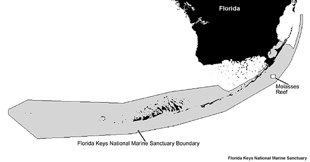
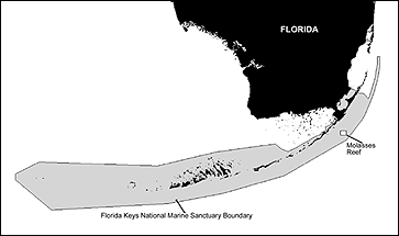
Map of Molasses Reef, Florida Keys National Marine Sanctuary, the site of the restoration. Click image for 300 dpi version. (Map: Florida Keys National Marine Sanctuary)
|
|
|
|
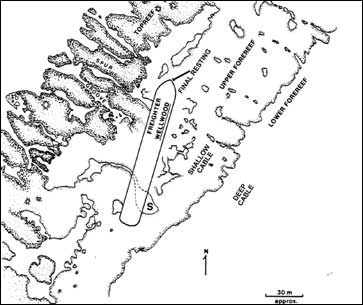
A map of Molasses Reef with a representation of the of the M/V Wellwood resting site. Click image for 300 dpi version. (Map: Florida Keys National Marine Sanctuary)
|
|
|
|
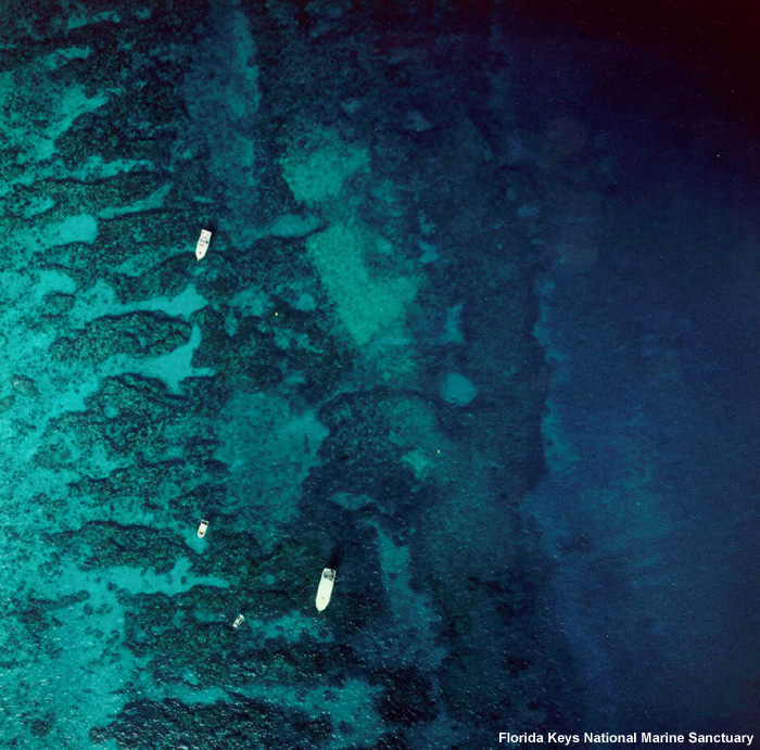
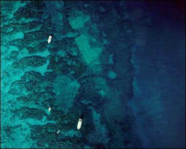
Aerial view of "parking lot," portion of Molasses Reef injured by the Wellwood grounding. Click image for 300 dpi version. (Photo: Florida Keys National Marine Sanctuary)
|
|
|
|
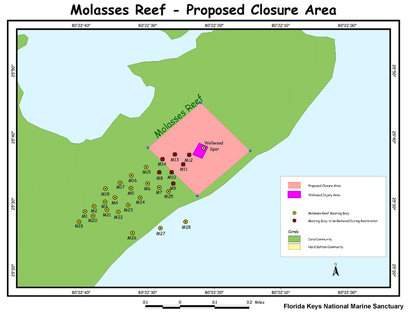
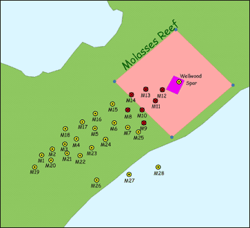
Map of project area delineating work site borders. The mooring buoys that will be removed for the duration of the project are marked in red. Click image for larger view. (Map: Florida Keys National Marine Sanctuary)
|
|
|
|
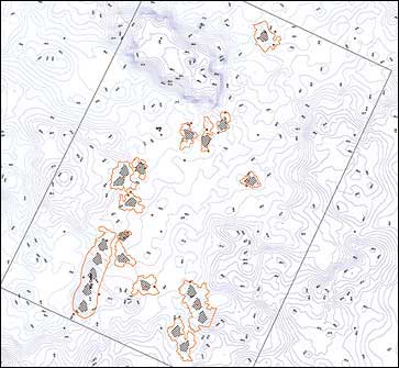
Map of module placement throughout the damaged area including bathymetry detailing of the reef. (Map: Florida Keys National Marine Sanctuary)
|
(top)
|
|
|