Prepare for Your Visit
Get ready to visit a sanctuary near you!
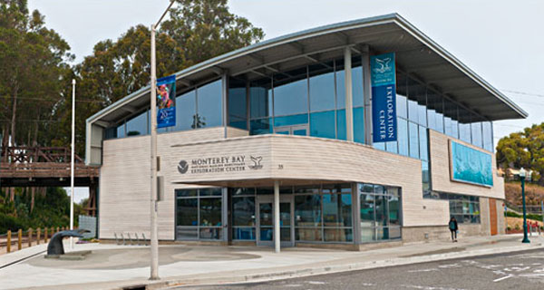
Visitors Centers & Exhibits
Come discover the gateways to your national marine sanctuaries!

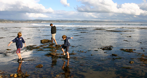
Things to Do
Explore the variety of activities these destinations have to offer!
- Diving / Snorkeling
- Fishing
- Boating
- Paddle Sports
- Surfing
- Whale Watching
- Wildlife Viewing
- Tidepooling
- Heritage Trails
- Stewardship
- Experience Maritime Heritage
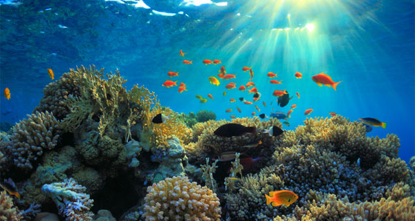
What Will I See?
Learn more about the variety of marine habitats and creatures in sanctuary waters.
