|
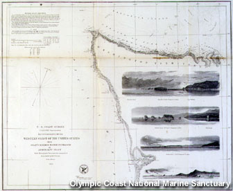
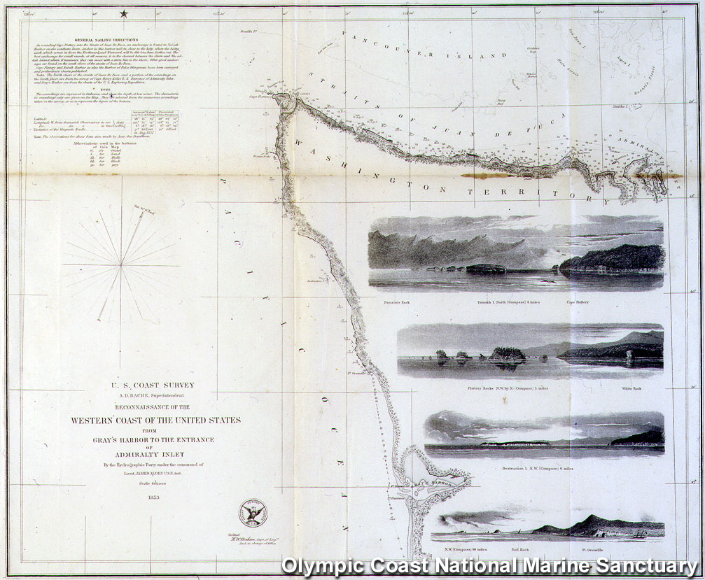
1853 Survey of the Olympic Coast by
Lt. James Alden. (photo: Olympic Coast NMS)
Text in Upper Left Corner
of Chart:
In rounding Cape Flattery
into the Straits of Juan De Fuca, an anchorage is found in
Nei-ah Harbor on the southern shore. Anchor in this harbor
well in, close to the kelp, where the heavy swell, which
comes in from the Northward, and Westward, will be felt less
than farther out. The best anchorage for small vessels, at
all seasons, is in the channel between the shore and
Wa-ad-dah Island, where, if necessary, they can moor with a
stern line to the shore. Other good anchorages are found on
the South shore of the straits of Juan De
Fuca.
Cape Flattery and Nei-ah
Harbor as also the Harbor of False Dungeness have been
surveyed and preliminary charts published.
Note The North
shore of the straits of Juan De Fuca, and a portion of the
soundings on the South shore are from the survey of Capt.
Henry Kellet R. N. Entrance of Admiralty Inlet, and Gray's
Harbor are from the charts of the US Exploring
Expedition.
Download/Display 300
dpi image
|

