Private Boating Study
This study contributes to our understanding of private boating and boaters in the Channel Islands. It informs managers and policy makers who must decide how to manage these islands- these public resources, which lie less than 150 miles from the homes of more than 10 million people. A focus of this work is establishing baseline data on boaters; against which future impacts of no-take marine reserves can be measured (no-take reserves prohibit fishing and other consumptiveactivities). Moreover, data can be used to spatially define “hotspots” of human activity, including areas that are heavily used and valued.
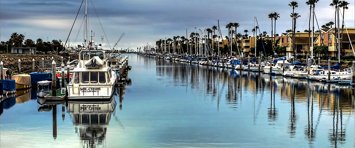
Access to the waters of the Channel Islands is almost exclusively by private or charter boat. Since human actions are a key determinant of ecological change in the Channel Islands, decision makers need to understand the ins and outs of how boaters interact with these islands if they are to be effective stewards of publicresources there. When private boaters visit the Channel Islands, they make decisions that affect managed resources- whether and where to fish, toss their anchor, or step ashore. Managers, consequently, benefit from knowing boater patterns of use and motivations. Managers also need to know how their management actions, e.g., establishing no-take marine reserves, affect boaters. Finally, boaters are potential partners in efforts to sustainably manage Channel Islands resources.
This study also enhances our understanding of what motivates people to recreate in the Channel Islands, how they value use of the marine environment there, and how people are affected by marine reserves. Are private boaters benefiting from marine reserves? Which people are affected by marine reserves, in what ways, and over what time periods and spatial areas? Specifically, what are the neteconomic benefits and what is the social significance over a network of marine reserves, in the short and long term? If marine protection contributes to rejuvenated populations of previously depleted marine organisms, will more divers, kayakers, boaters, and wildlife watchers be attracted to these areas? How will boaters who enjoy both consumptive and non-consumptive activities respond to no-take reserves? The baseline is the first important step in answering these questions now and in the future.
Eventually, we want to know if marine protection results in greater net economic value and social satisfaction. This baseline is needed so that comparisons can be made with data collected in the future, as a measure of marine protection performance. Furthermore, information on human use of the marine environment is needed to elucidate, anticipate, and in some cases mitigate the impact that humans have on marine environments (even through non-consumptive activities).
Methods and Approach
A baseline of scientifically rigorous information was developed on non-consumptive and consumptive forms of recreation. Using four integrated, peer-reviewed surveys, information was collected on where boaters go in the waters of the Channel Islands, what they do, how much time and money they spend, how much information they have on marine protected areas, and their attitudes and perceptions toward marine protection and management (for example, do they think marine reserves will work; do they support existing reserves). Information on trip-related expenditures in local economies and demographics was also collected.
Four surveys were conducted during 2006-20007 to collect information from boaters who take trips to the Channel Islands to go diving, kayaking, and view wildlife (or simply relax in natural settings): 1) A postcard survey of private boaters, 2) a Web-based anchorage choice survey, 3) An on-site intercept survey of boater activities at anchor, and 4) A knowledge, attitudes, and perceptions survey. While the focus is on non-consumptive uses, some information on consumptive activities, such as fishing and spear fishing, was also collected (we recognize that consumptive and non-consumptive activities are sometimes intertwined during a single trip to the coast or islands).
In 2012, the University of California Santa Barbara Bren School initiated a Master's Degree group project to use the 2006-2007 survey data to estimate the non-market economic use value received by those who accessed the sanctuary via private household boats. A "Random Utility Model" was used to estimate the non-market economic value per boat trip and how the value changes with changes in sanctuary resource attributes (e.g. fish and invertebrate abundance and richness or diversity). The model related site choice based on user's travel cost of accessing the site, activity type, wind exposure of the site, and sanctuary resource attributes.
In order for the students to be able to aggregate/extrapolate their sample estimates to population estimates, the students needed estimates of total use. They specifically needed an estimate of the total number of boat trips made to the sanctuary via private household boats. ONMS Chief Economist, bob Leeworthy, used the "Sanctuary Aerial Monitoring and Spatial Analysis Program" (SAMSAP) data and the 2006-2007 survey data to estimate total use for year 2007 measured in number of boat trips and number of person-days of use.
Next Step
Using the use estimates and expenditure profiles in the above reports, estimates will be made of total expenditures made by those who accessed the sanctuary via private household boats for non-consumptive recreation and the associated impacts on the local economy in terms of output/sales, value added, income and employment.