Thunder Bay Sanctuary Boundaries Expand
By Samantha Clevenger
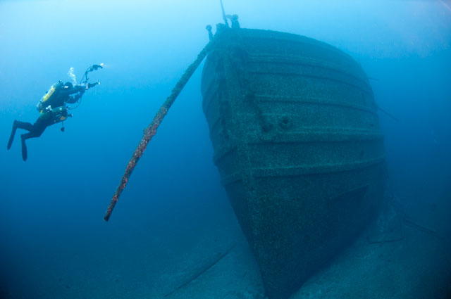
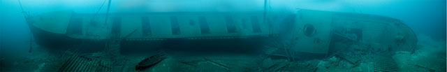
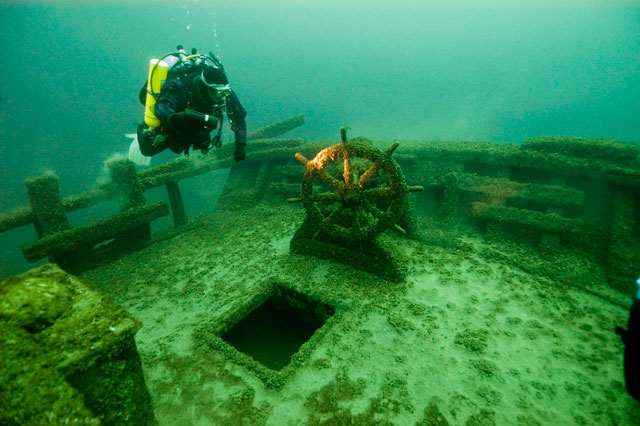
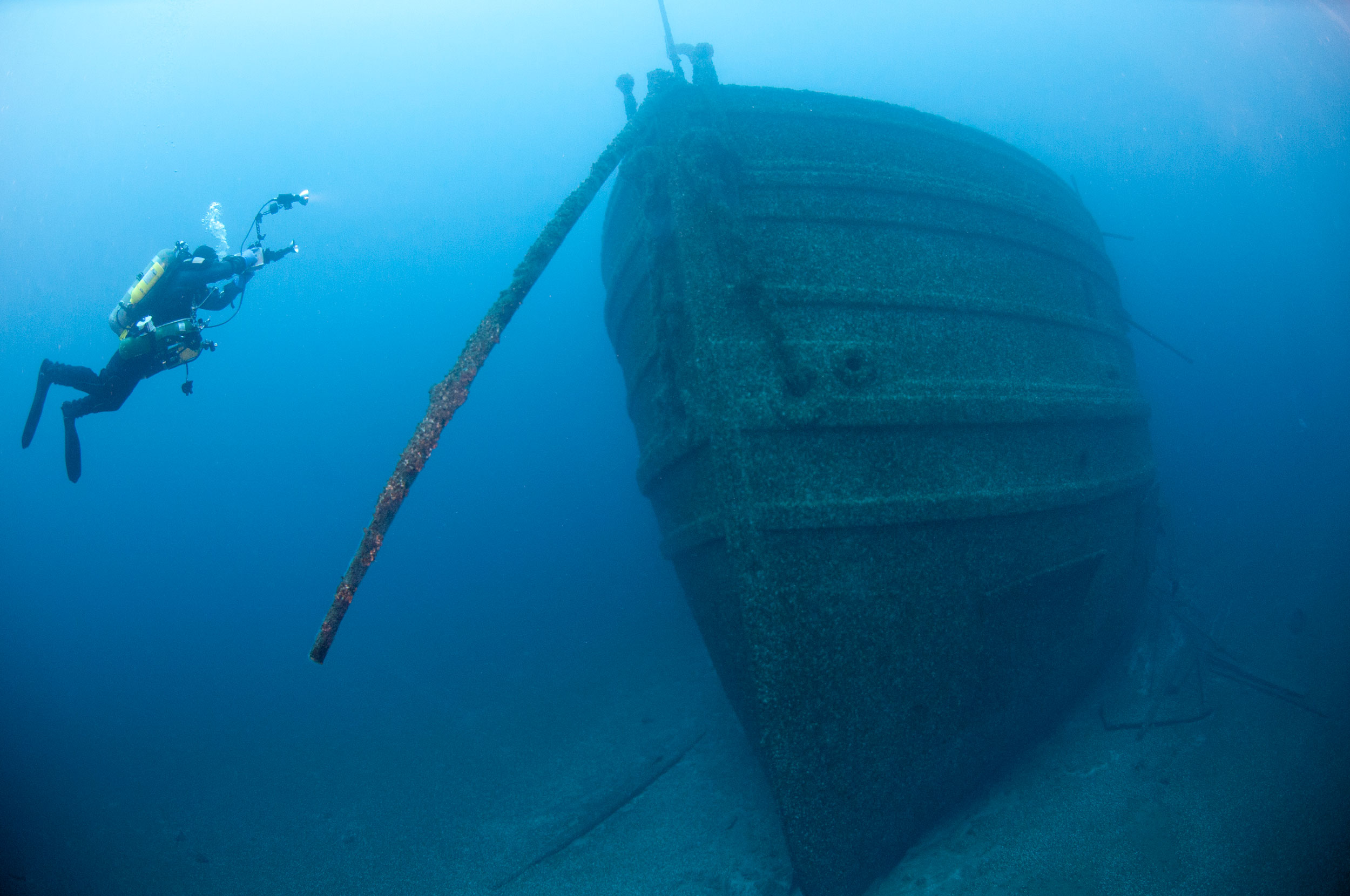
Since its designation in 2000, Thunder Bay National Marine Sanctuary has been home to one of the richest collections of federally protected shipwrecks in America. The cold, clear waters of Lake Huron are a treasure trove of our nation's maritime history, from the days of the earliest pioneers to the modern era of bustling commerce on the Great Lakes.
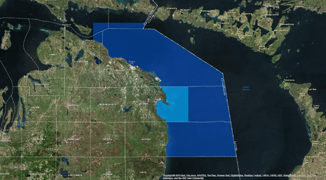
Now that collection is growing even larger as the sanctuary expands to nearly 10 times its original size, encompassing new waters that may potentially contain more than 100 additional shipwreck sites.
After nearly seven years of research and extensive stakeholder input, NOAA has published new regulations that increase the area of Thunder Bay National Marine Sanctuary from 448 square miles to 4,300 square miles.
Cause for Celebration
The people of northeastern Michigan have plenty of reasons to celebrate the Thunder Bay sanctuary expansion, which was championed by Carl Levin, Michigan’s senior senator, citing scientific, cultural and economic benefits for that part of the state. Within the newly protected area are 47 known shipwrecks and around 60 suspected shipwrecks, adding to the 45 known and 40 suspected wrecks in the sanctuary’s original boundaries. By extending federal protection to the additional wreck sites, the sanctuary will help preserve these pieces of history and generate increased tourism, giving local communities an economic boost.
The expansion also opens up new opportunities to study the history of these wreck sites, revealing more stories of our nation’s heritage and ensuring that generations to come will be able to learn from this vibrant microcosm of economic and maritime history.
A Team Effort
Expanding the sanctuary was a tremendous effort based on years of research by NOAA and its scientific partners, as well as public input and widespread support from local and regional interests and elected officials, a testament to the sanctuary’s image and economic impact. The process involved extensive cooperation with local, state and federal government agencies, the Chippewa Ottawa Resource Authority, the U.S. Coast Guard, the U.S. Environmental Protection Agency, public and private interests, and local Michigan communities.
Support for the effort was largely driven by the consensus that the existing sanctuary, which is headquartered at the NOAA Great Lakes Maritime Heritage Center in Alpena, has proved to be a significant benefit for the city and surrounding areas, and has not imposed unnecessary restrictions on maritime economic and recreational activities. All regulations in the newly expanded waters will be consistent with what is already in place in the original 448 square miles of Thunder Bay National Marine Sanctuary.
Read the press release.
| 


