Sanctuaries Home
Untitled Document JMPR Banner JMPR Home Sanctuaries Home

Home

JMPR Overall Schedule

JMPR FAQs

CBNMS Proposed Action Plans

GFNMS Proposed Action Plans

MBNMS Proposed Action Plans

Working Group Descriptions

Scoping Summary

Sanctuary Advisory Council Meetings & Workshops

Documents

Maps/Images

Current Sanctuary Management Plans & Regulations

State of the Sanctuary Reports

CA Biogeographic Assessment

Correspondence, Press Releases & Notices UPDATED!

Getting Involved

Your Comments

Links to Sanctuary Websites


Maps & Images

The following bathymetric map depicts the three national marine sanctuaries undergoing joint management plan review Cordell Bank, Gulf of the Farallones and Monterey Bay.

Three-Sanctuary Region (North-Central California)
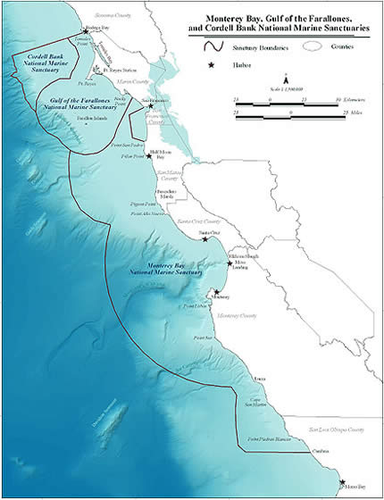
JMPR Map (jpg 68K)
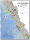
Detailed Map of Three-Sanctuary Area (pdf 3Mb)
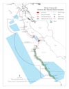
MBNMS Marine Zones All (pdf 480K)
MBNMS Marine Zones North (pdf 396K)
Rocky Point to Point Año Nuevo
MBNMS Marine Zones Bay (pdf 492K)
Monterey Bay Area
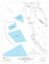
MBNMS Marine Zones South (pdf 248K)
Big Sur to Cambria

For more maps of the MBNMS, click HERE

NOAA logo Revised September 12, 2023 by Sanctuaries Web Group
Many links leave the National Marine Sanctuary Web Site - please view our Link Disclaimer for more information
National Ocean Service | National Oceanic and Atmospheric Administration | U.S. Department of Commerce | NOAA Library | Privacy Policy
Contact Us | http://sanctuaries.noaa.gov/includes/sancfoot.html