Maritime Cultural Landscapes
Archival Resources
Footprint Maps for Published Maps and Charts
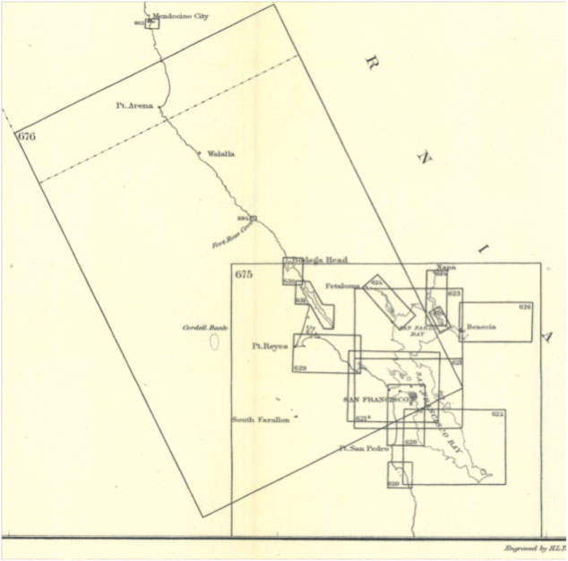
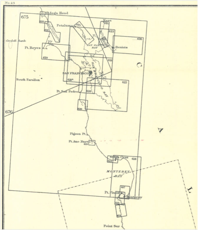
The Coast Survey published foot print map for their charts, as NOAA still does today. Unfortunately, the "names" of the published charts, usually designated by chart numbers, changed many times over the years. Therefore, the names/numbers of both historic and modern charts may be different, but the footprints of the maps are still an effective key to identifying the maps and charts you want.
Here are the foot print maps, taken from the 1887 map footprint series, for the published maps and charts covering the area that is now the Gulf of the Farallones Sanctuary. Note that the maps were different sizes, and also published at different scales, and also, as noted, the chart numbers often changed over time.
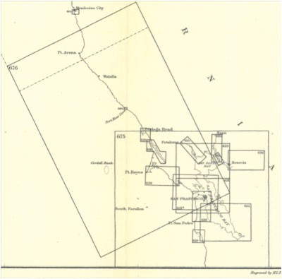 | 1887 Map and Chart Footprint Index Map for the northern end of the Sanctuary.
Click on the image for a larger view. |
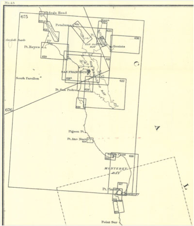 | 1887 Map and Chart Footprint Index Map for the southern end of the Sanctuary.
Click on the image for a larger view. |
|