Maritime Cultural Landscapes
Archival Resources
Standardized Drawings
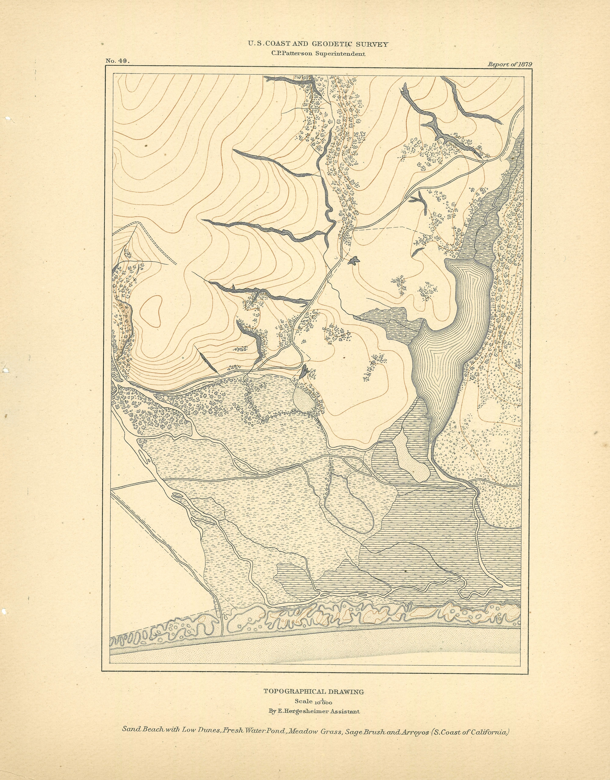
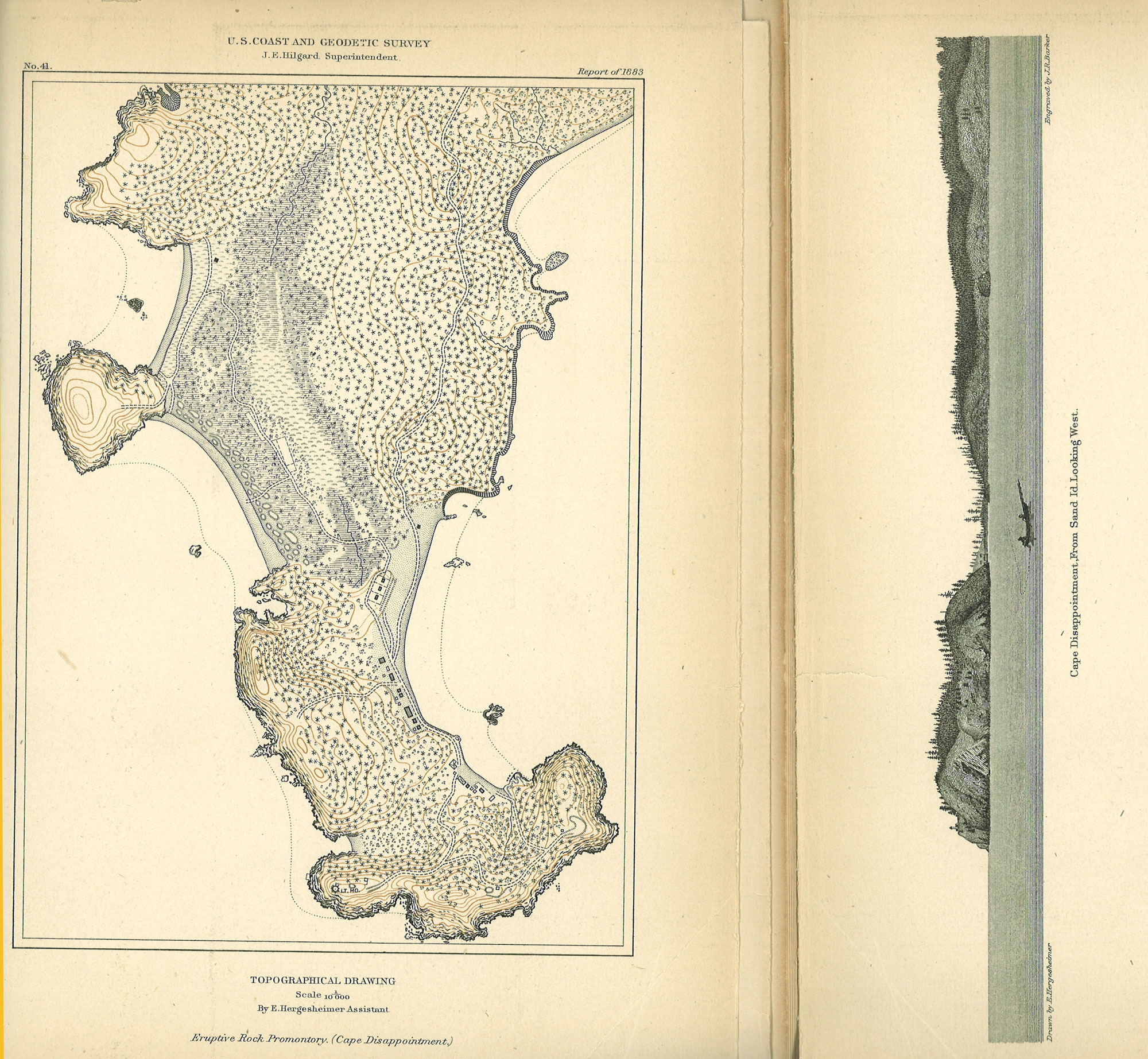
The keys to interpretation of Coast Survey maps, including the published maps, but especially the T-Sheets, were the detailed instruction manuals for topographic mapping, and the series of standardized drawings of map features, most of which were drawn by Edwin Hergesheimer, one of the greatest cartographers and artists of the Survey. On the website you will find links to download all the standardized drawings released over decades in the 19th century. Here, we present the two Hergesheimer drawings, published in 1879, which pertain most directly to the topography of the Gulf of the Farallones Sanctuary. These are re-sampled to lower resolution-the downloadable images are full resolution.
 | No. 49, part of the coast near San Luis Obispo, California, 1879.
Click on the image for a larger view. |
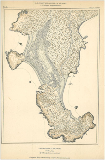 | No. 41, Cape Disappointment, Washington, 1883.
Click on the image for a larger view. |
The full set of standardized drawings are useful for any T-Sheet or map or any area, as they all cover and complement many aspects of the environmental and historical histories of the American coasts, and hence are major resources for maritime cultural landscapes.
|