Kīlauea eruption brings NOAA and the National Park Service together
By Andy Collins and Elizabeth Weinberg
June 2018
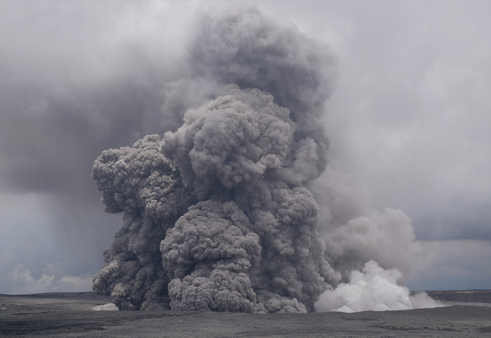
Since May, Hawai‘i’s Kīlauea volcano has been erupting, accompanied by strong earthquakes, intense lava flows, and smoke and ash. To help support communities affected by the eruption, NOAA’s Mokupāpapa Discovery Center is stepping up.
Located in Hilo, the Mokupāpapa Discovery Center was established in 2003 to teach the public about the ecosystems and cultural resources protected by Papahānaumokuākea Marine National Monument in the Northwestern Hawaiian Islands. With the current explosive eruption of Kīlauea, though, the discovery center is playing a role in teaching visitors about something closer to home: the impacts of volcanic activity in the main Hawaiian Islands.
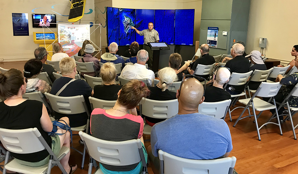
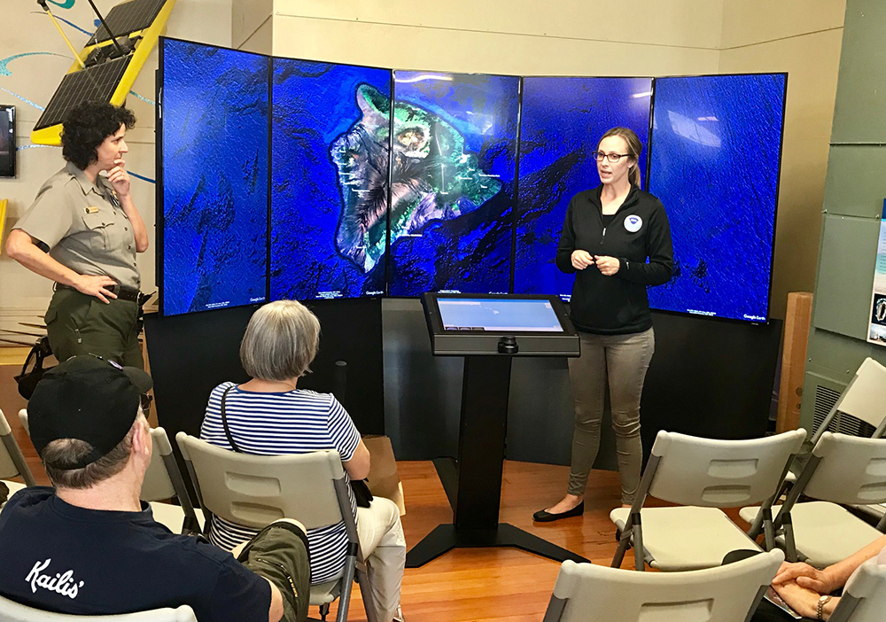
The recent Kīlauea eruption has damaged and destroyed homes on the Hawaiʻi Island, and violent explosions have caused the closure of the summit area of Hawai‘i Volcanoes National Park to its nearly two million annual visitors. To lessen the impacts to park visitors and provide a venue to learn about the current eruption, the Mokupāpapa Discovery Center has hosted a pop-up park center where rangers can communicate information to the public.
“We are very grateful for the opportunity to serve visitors at the Mokupāpapa Discovery Center in Hilo while most of the park is closed,” says Benjamin Hayes, chief of interpretation and education for Hawai‘i Volcanoes National Park. “The NOAA team welcomed us with much aloha and it has been a rewarding experience to work alongside them in such a beautiful facility. Thanks to NOAA, we can safely share this dynamic event with the public and at the same time strengthen our partnership for future collaboration.”
In addition, NOAA’s National Weather Service has been participating in daily briefings, providing information about ash fall, wind direction, and air quality hazards.
Both Hawaiʻi Volcanoes National Park and Papahānaumokuākea Marine National Monument are UNESCO World Heritage Sites and interpret the natural and cultural features that represent the birth of Hawaiian islands and their return to the sea far to the northwest in the monument. The partnership taking place at the Mokupāpapa Discovery Center has enabled interpreters to tell this story together while providing critical information to the public about the active flow and potential safety issues.
“We have had a long and collaborative partnership with Hawaiʻi Volcanoes National Park and feel fortunate to be able to share our space in their time of need,” says Athline Clark, superintendent of Papahānaumokuākea Marine National Monument. “Our Mokupāpapa Discovery Center is a community center. With the programs park interpretive staff have brought and through their daily eruption briefings, the center is playing a vital community role.”
Andy Collins is the education coordinator for Papahānaumokuākea Marine National Monument. Elizabeth Weinberg is the social media coordinator and editor/writer for NOAA’s Office of National Marine Sanctuaries.