Notes from the Field

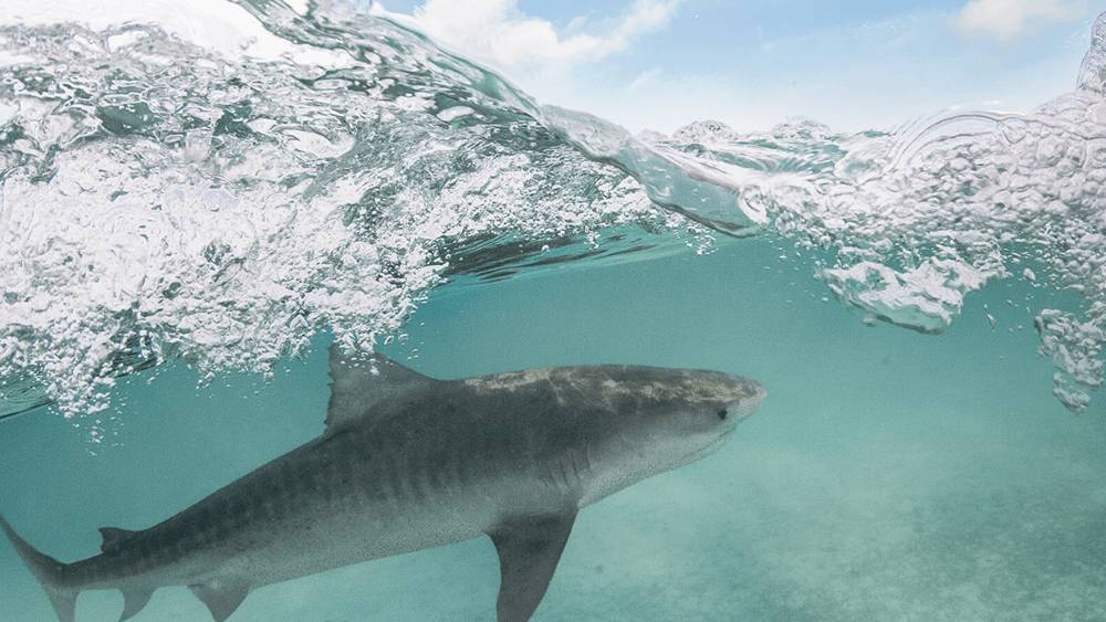
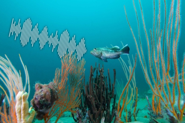
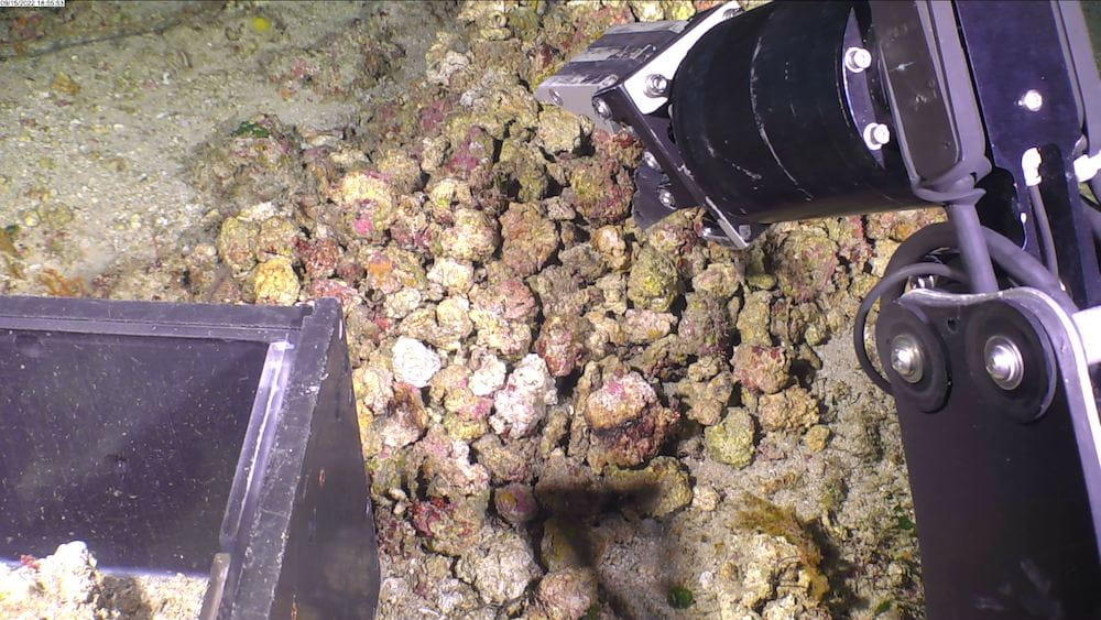
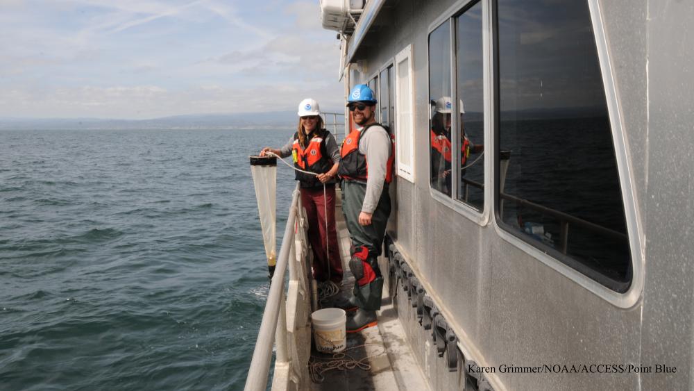
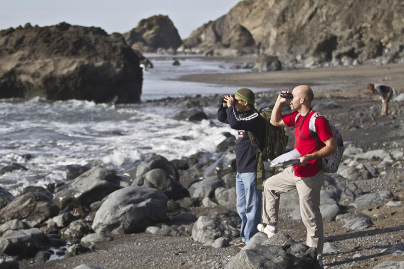
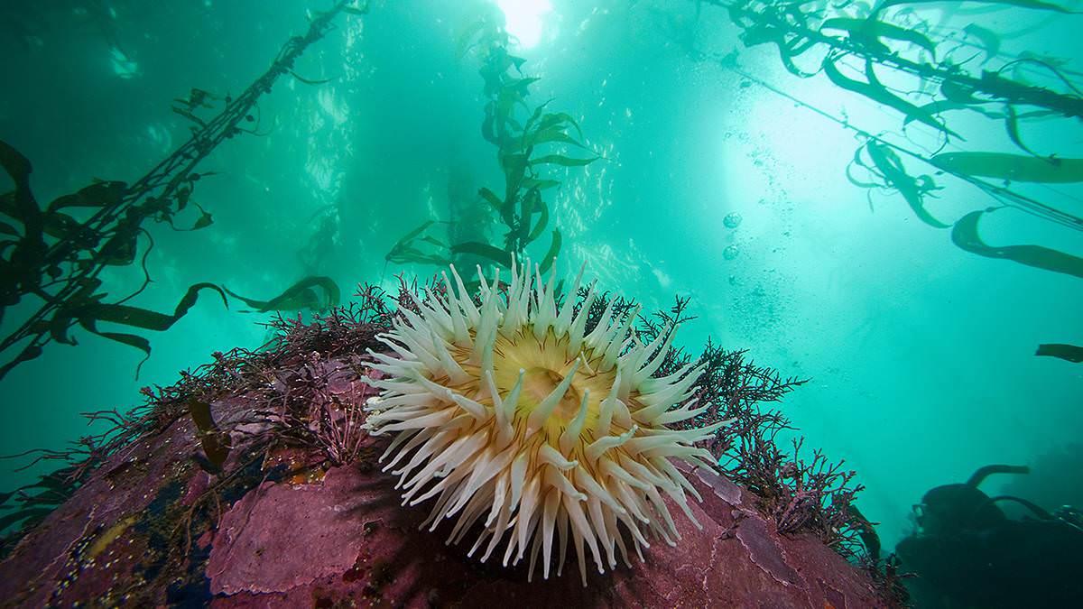
We have been busy across the National Marine Sanctuary System! Join us behind the scenes for a look at research taking place above and below the water. Learn fun facts about scientific instruments and techniques, get updates on long-term monitoring projects, and meet some of our staff, partners, and volunteers who make it all happen! Be sure to check back each week for the latest field notes.

ACCESS: 20 Years of Monitoring!

March 4, 2024

two people on the side of a boat
Photo: Karen Grimmer

Without good data, we simply wouldn’t know enough about the ocean to help save it. Just like humans go to the doctor for an annual check-up, scientists take routine measurements and observations to assess the health and condition of the ocean. The Applied California Current Ecosystem Studies (ACCESS) is an at-sea monitoring program with 20 years of data collection within Greater Farallones, Cordell Bank, and Monterey Bay national marine sanctuaries carried out in partnership with Point Blue Conservation Science. ACCESS data helps resource managers, policy makers, and conservation partners improve conditions for ocean wildlife.

Real-Time Notifications Help Right Whales

February 26, 2024

whale breaching the surface of the water
The North Atlantic right whale is an endangered species of baleen whale. Photo: Liam Waters/NMFS Permit No. 27272-01

On January 30, 2024, staff at Stellwagen Bank National Marine Sanctuary and Maritime Information Systems, Inc. in cooperation with the U.S. Coast Guard successfully transmitted a text message using the Automated Identification System (AIS) directly to the bridge of a large tanker ship notifying the vessel that it exceeded the speed limit within the Cape Cod Bay NOAA Right Whale Seasonal Management Area. Most vessels 65 feet or longer must travel at 10 knots or less in certain locations (called seasonal management areas) along the U.S. East Coast at certain times of the year. This mandatory regulation reduces the likelihood of deaths and serious injuries to endangered North Atlantic right whales that result from collisions with vessels.

map displying various locations of ships on the water in cape cod
AIS web-based display showing a tanker speed in excess of 10 knots in NOAA Cape Cod Bay Seasonal Management Area. Photo: Maritime Information Systems, Inc.
AIS diplay screen
AIS display on RV Auk while testing the new messaging system. Photo: David Slocum

The short text message ("MAX SPEED 10 KNOTS PER 50CFR224.105-31") was displayed on the screen of the AIS receiver and charting system display of the vessel. The team received an acknowledgement message from the vessel, certifying that the speed limit message was successfully received by someone aboard the vessel. This feature is also planned to be used to transmit near-real time North Atlantic right whale sighting data and/or NARW management rules displayed on Whale Alert to vessels with AIS capability, and eventually could be utilized more broadly along the East Coast.

This effort, combined with Stellwagen Bank National Marine Sanctuary's North Atlantic Right Whale Corporate Responsibility Program, provides a valuable feedback loop to mariners, resulting in the highest compliance rates in the country for seasonal management areas.

First Water Sampling Event of the Year

February 20, 2024

diver taking a water sample underwater
Photo: Alisha Gill

Earlier this year, the first 2024 water sampling event took place at National Marine Sanctuary of American Samoa! One of the 19 NOAA Ocean Acidification Program buoys located around the world is stationed within the American Samoa sanctuary's waters. "Ocean acidification" refers to a change in chemistry of the planet's ocean caused by the uptake of extra carbon dioxide from the atmosphere as a result of humans burning fossil fuels. This chemical change makes it hard for marine life to grow their shells and skeletons. The buoy at Fagatele Bay takes measurements of the carbon dioxide in the water and atmosphere daily. To check if the buoy is taking accurate measurements, researchers periodically collect water samples and send them to a lab in Florida for comparison.

Listening to Boat Traffic and Fish Spawning

February 9, 2024

diver installing a hydrophone on the ocean bottom
Photos: Ben Edmonds/NOAA
a hydrophone at the ocean bottom

We're listening! Strategically-placed underwater sound recording devices (hydrophones) can tell us a lot about the marine environment. Our Key West-based Mission: Iconic Reefs team in Florida Keys National Marine Sanctuary recently swapped out new devices at Eastern and Western Dry Rocks. The Eastern Dry Rocks hydrophone is listening for boat traffic to help us understand human impact on the reef, while the Western Dry Rocks device is listening for spawning snapper and grouper, as part of the Florida Fish and Wildlife Conservation Commission's annual closure of the area. You can learn more about sound monitoring across the National Marine Sanctuary System on our SanctSound project page.


Archive

bird flying over the ocean

Birdwatching in Olympic Coast National Marine Sanctuary

On Saturday, Aug 13, 2016, our birdwatching group from Olympic Peninsula Audubon Society traveled through the northern waters of the Olympic Coast National Marine Sanctuary on the M/V Windsong out of Neah Bay. Our route traveled through the western entrance of the Strait of Juan de Fuca to Swiftsure Bank, then south over the Juan de Fuca Canyon and back inshore by Tatoosh Island.

photo of an orca breaching

Understanding Sanctuary Soundscapes: A Q&A with Carol Bernthal and Sarah Fangman

Marine organisms from tiny fish to enormous whales rely on sound and hearing for their survival, but increasing human activity within our ocean over the last century has also meant increasing levels of noise. Gray's Reef National Marine Sanctuary superintendent Sarah Fangman and Olympic Coast National Marine Sanctuary superintendent Carol Bernthal discuss how understanding the soundscapes within their protected areas can help sanctuary managers better safeguard species that rely on sound.  

photo of leila hatch, jason Gedamke and Jenni Stanley

Understanding Ocean Noise Reddit "Ask Us Anything"

Join NOAA scientists Dr. Leila Hatch, Dr. Jason Gedamke and Dr. Jenni Stanley on December 8th for a Reddit "Ask Us Anything" about understanding ocean noise.  

Dr. Nyssa Silbiger conducts research on the beach

The Biology Bus: A Q&A with Nancy Foster Scholarship Alumna Dr. Nyssa Silbiger

Former Nancy Foster Scholar Dr. Nyssa Silbiger and her colleagues Piper Wallingford and Savannah Todd have spent the summer researching intertidal organisms in West Coast national marine sanctuaries -- all out of a camper van.

A white mat of unknown material coats a dying sponge

NOAA scientists report mass die-off of invertebrates at East Flower Garden Bank in Gulf of Mexico

Sport divers on the M/V Fling, diving in the Gulf of Mexico 100 miles offshore of Texas and Louisiana, were stunned to find green, hazy water, huge patches of ugly white mats coating corals and sponges, and dead animals littering the bottom on the East Flower Garden Bank, a reef normally filled with color and marine life. The reef, which is part of Flower Garden Banks National Marine Sanctuary, is considered one of the healthiest anywhere in the region.

photo of a view on a ship with waves

Sentinel Sites in Action
Ocean Ecosystem Health in North-central CA

For 13 years, Greater Farallones National Marine Sanctuary (GFNMS) and Cordell Bank National Marine Sanctuary (CBNMS) scientists have collaborated with Point Blue Conservation Science to collect data on the ocean ecosystem. The project, Applied California Current Ecosystem Studies (ACCESS), examines how ocean conditions influence the tiny plants and animals at the base of the ocean food chain which in turn drive the abundance and distribution of top level predators like seabirds and marine mammals. ACCESS data from 13 years of sampling reveal a dynamic ocean influenced by both large scale phenomenon like El Niño, and local conditions such as strong winds that bring cold, nutrient rich water to the surface through “upwelling”.

photo of the Nautilus

2016 Nautilus Expedition

This summer, NOAA's Office of National Marine Sanctuaries is teaming up with the Ocean Exploration Trust to explore the marine ecosystems of the West Coast. Working aboard the E/V Nautilus and utilizing remotely operated vehicles (ROVs), scientists will map and explore targets throughout the U.S. West Coast, from Canada to southern California, including five national marine sanctuaries.

volunteers on a beach looing for sea birds

A Noisy Ocean: A Q&A with Dr. Leila Hatch

If you're a marine animal, odds are good that you need sound. From whales to small invertebrates like shrimp, many marine organisms rely on sound and hearing for their survival. Sound is the most efficient means of communications over distance underwater, and is the primary way that many marine species gather and understand information about their environment.

volunteers on a beach looing for sea birds

Seabirds as Sentinel Indicators of Ecosystem Health

The government alone cannot sustain healthy oceans. It takes stewardship and community involvement in order to combat today’s pressures on our marine ecosystems. The Greater Farallones National Marine Sanctuary uses seabirds as sentinel indicators of the health of our coastal ecosystem, through long-term monitoring of live and dead seabirds.

anenome and kelp

The State of Monterey Bay: An Interview with Dr. Jennifer Brown

In January, Monterey Bay National Marine Sanctuary released an update to its Condition Report, a detailed assessment of how the sanctuary is doing. In this Q&A, Dr. Jennifer Brown, ecosystem scientist for the Sanctuary Integrated Monitoring Network (SIMoN), explains the importance of this report and what it has to say about the sanctuary.