Papahānaumokuākea National Marine Sanctuary
NOAA designated Papahānaumokuākea National Marine Sanctuary on January 16, 2025 with publication of the final rule. Per the National Marine Sanctuaries Act, after the final rule for sanctuary designation is published, sanctuary designation will take effect following 45 days of continuous session of the U.S. Congress.
The images and video below can be downloaded in high resolution and may be freely used for press purposes.

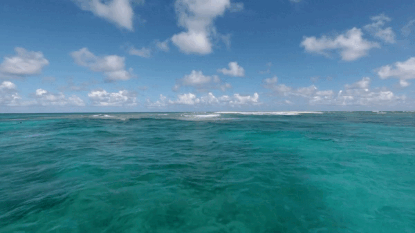
NOAA's chosen boundary for the sanctuary is coextensive with the marine portions of the Monument. The boundary includes the marine environment surrounding the Northwestern Hawaiian Islands from the shoreline of the islands and atolls seaward to 200 nautical miles, including all State waters and waters of the Northwestern Hawaiian Islands Coral Reef Ecosystem Reserve, Midway Atoll and Hawaiian Islands national wildlife refuges, and State of Hawaiʻi Northwestern Hawaiian Islands Marine Refuge.
Map: NOAA
Papahānaumokuākea Marine National Monument B-roll
Credit: NOAA
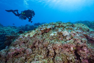
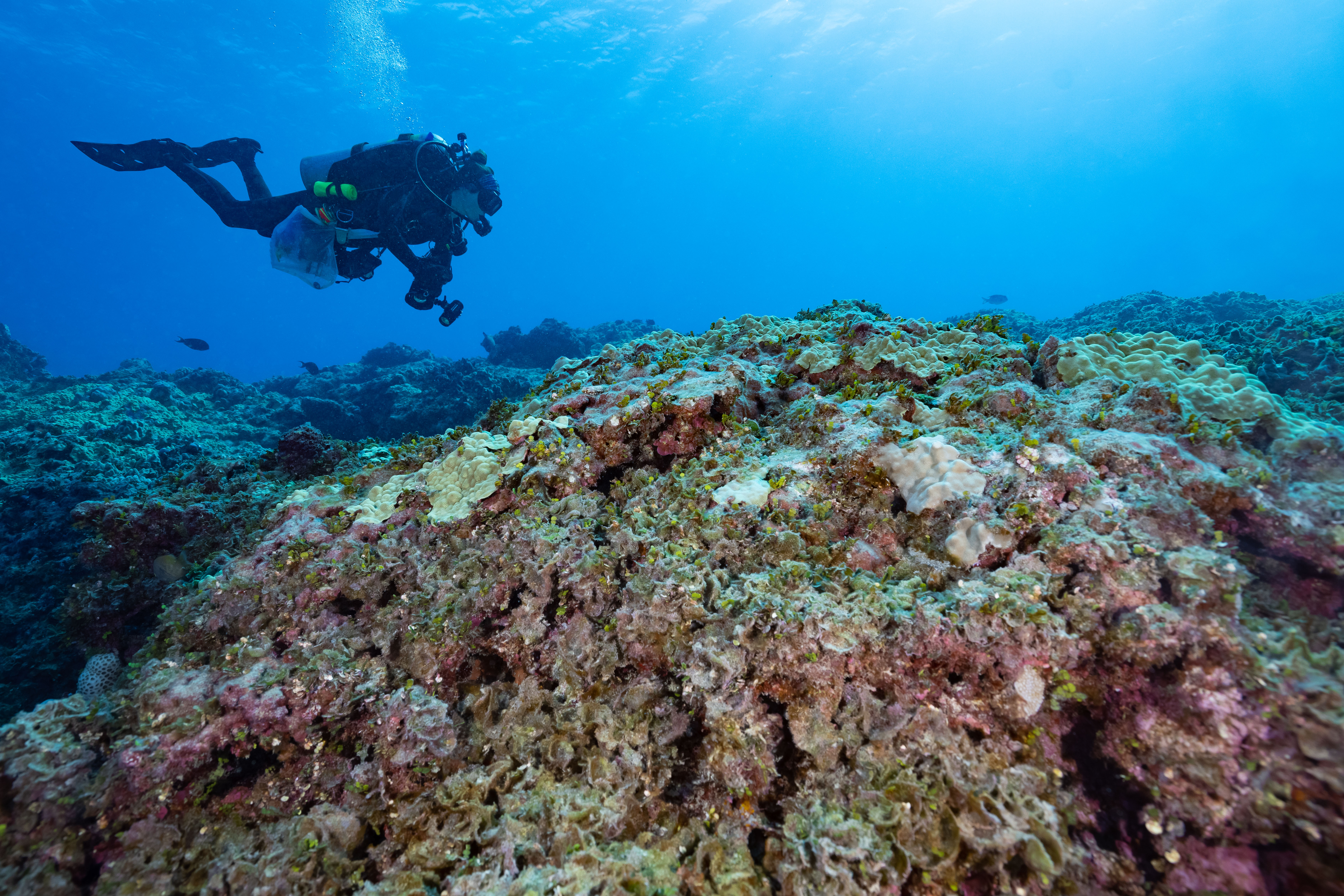
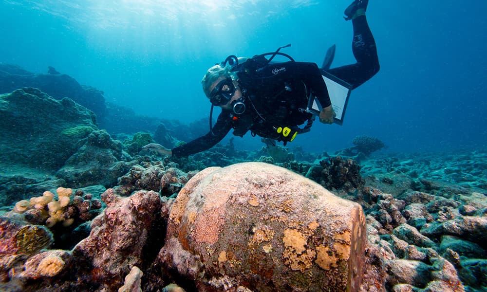
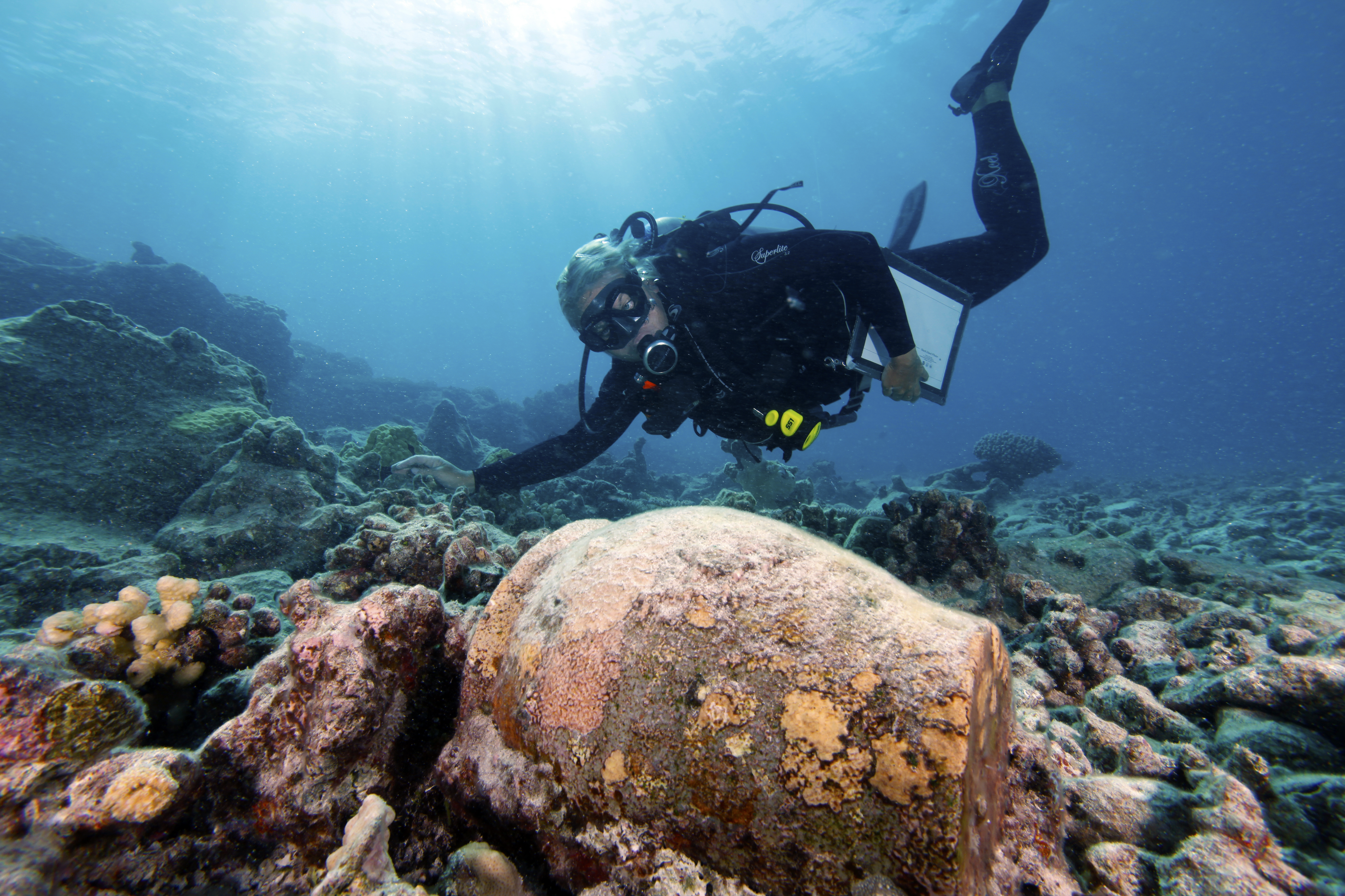
Scientist surveys algal growth in Papahānaumokuākea.
Credit: Kimberly Jeffries/NOAA
Rare species live at Hōlanikū (Kure Atoll).
Credit: NOAA/Richard Pyle-Bishop Museum
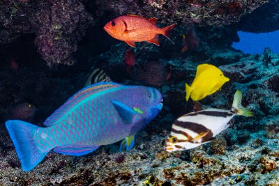
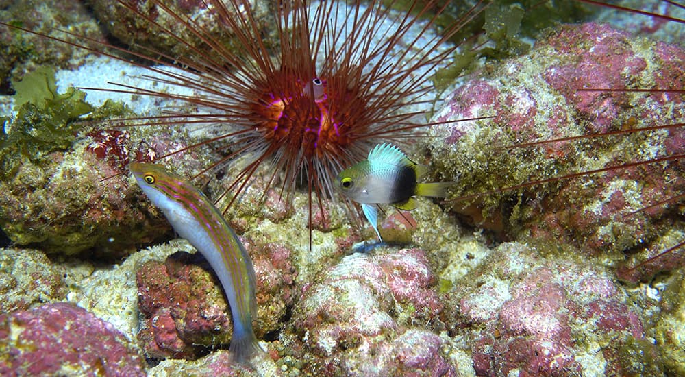
A diverse assemblage of fish on the reefs in Papahānaumokuākea.
Credit: Kimberly Jeffries/NOAA
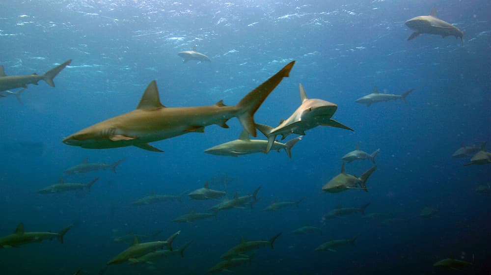
Galapagos sharks (manō) school at Kamokuokamohoaliʻi (Maro Reef).
Credit: James Watt/NOAA
NOAA maritime archaeologists located the wreck of the Two Brothers, lost in 1823.
Credit: NOAA
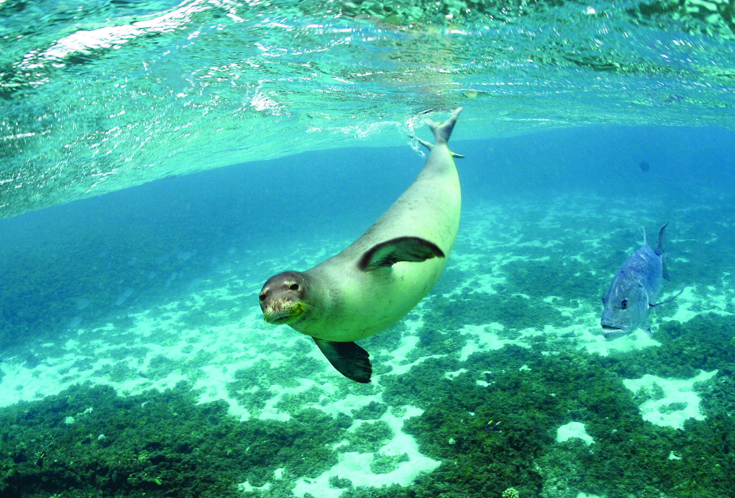
A juvenile Hawaiian monk seal (ʻīlioholoikauaua) swims near Trig Island, Lalo (French Frigate Shoals).
Credit: Mark Sullivan
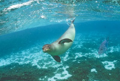
Hawaiian monk seal and a giant trevally at Hōlanikū (Kure Atoll)
Credit: James Watt/NOAA
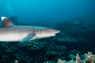
White tip reef shark at Kapou (Lisianski Island).
Credit: Kimberly Jeffries/NOAA
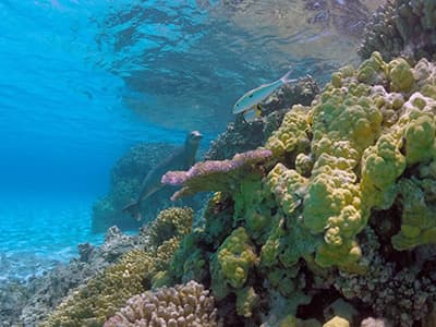
Large Acropora table corals that survived Hurricane Walaka serve as valuable habitat for remaining fishes, like this bigeye ('Āweoweo, Priacanthus meeki).
Credit: Kimberly Jeffries/NOAA