Condition reports are used by NOAA to assess the condition and trends of national marine sanctuary resources and ecosystem services. These reports provide a standardized summary of resources in NOAA’s sanctuaries, driving forces and pressures on those resources, and current conditions and trends for resources and ecosystem services. These reports also describe existing management responses to pressures that threaten the integrity of the marine environment.
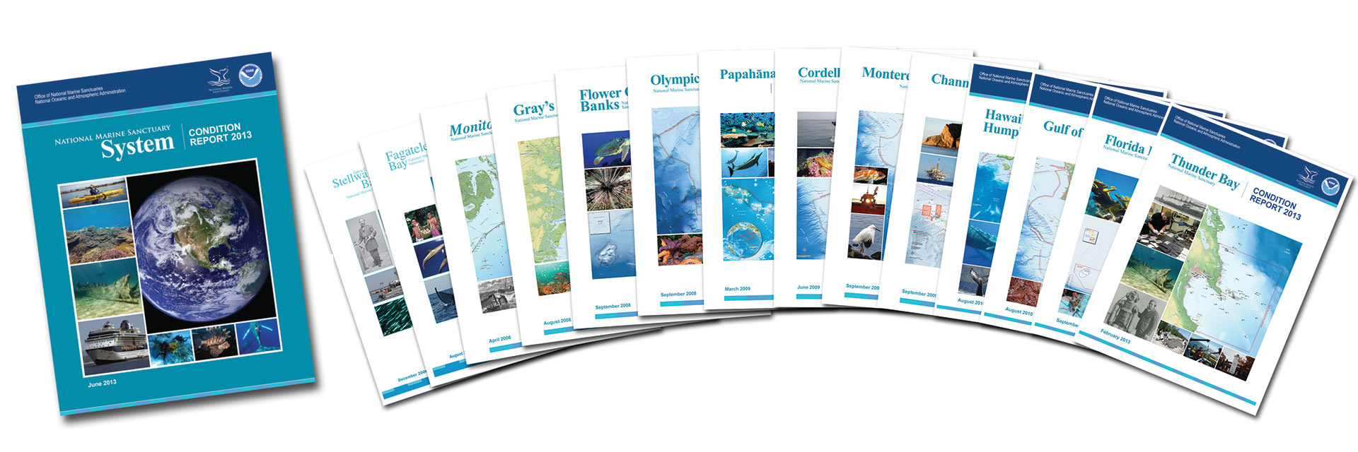
Links are provided below to access additional information and the sanctuary condition reports (listed in order of publication).
Gray’s Reef National Marine Sanctuary, located off the coast of Georgia, was designated in 1981 to protect one of the largest known nearshore “live-bottom” reefs of the southeastern United States. The sanctuary encompasses approximately 22 square miles and is situated roughly 19 miles east-southeast of Sapelo Island, Georgia on the eastern continental shelf of the United States.

Flower Garden Banks National Marine Sanctuary (FGBNMS) is the only sanctuary located in the Gulf of Mexico. Situated 80 to 125 miles (130 to 200 km) off the coasts of Texas and Louisiana, FGBNMS ranges in depth from 52 to 722 feet (16 to 220 m) and includes thriving shallow-water coral reefs, algal-sponge communities, and deeper mesophotic reefs comprised of black coral, octocoral, and algal nodule habitats.

Greater Farallones National Marine Sanctuary was designated in 1981 and expanded to its current size of 3,295 square miles in 2015. The sanctuary is located off the California coast, extending west of southern Mendocino, Sonoma, Marin, San Francisco, and San Mateo counties. The sanctuary extends from the mean high tide line, with exceptions, to the continental margin at or about the 10,000-foot depth contour, and includes Estero Americano, Estero de San Antonio, Tomales Bay, and Bolinas Lagoon, as well as the waters surrounding the Farallon Islands. It is adjacent to Cordell Bank and Monterey Bay national marine sanctuaries.
Cordell Bank National Marine Sanctuary (CBNMS) was designated in 1989 and expanded to its current size of 1,286 square miles in 2015. The sanctuary is entirely offshore, with its southern boundary located 42 miles north of San Francisco, eastern boundary located six miles from shore, and western boundary located 30 miles from shore. Seafloor features, such as the rocky Cordell Bank, deep Bodega Canyon, steep slope, and continental shelf habitats, combined with significant upwelling ocean conditions, create an extremely productive marine environment in CBNMS, with an array of species that contribute to the sanctuary’s unique biodiversity.
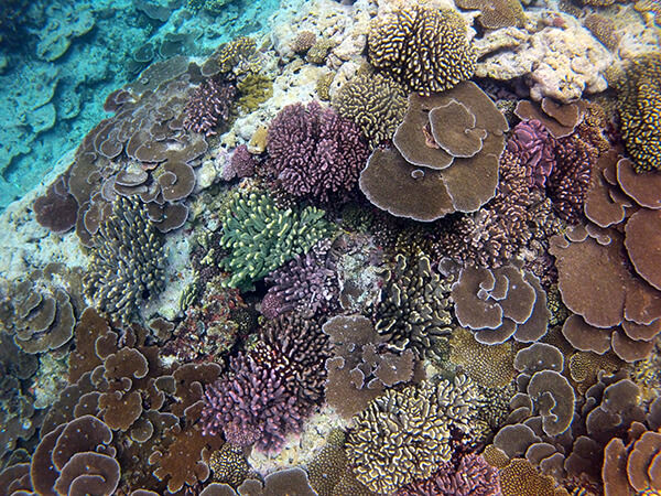
National Marine Sanctuary of American Samoa is a place of extraordinary beauty and is the most remote of the United States’ national marine sanctuaries. It is located off the shores of American Samoa, the southernmost territory in the U.S. and one of only two U.S. territories that are south of the equator. NMSAS is composed of six separate protected areas that cover 13,581 square miles of ocean waters, making it the largest national marine sanctuary in the U.S. It is home to a great diversity of marine life, including corals and other invertebrates, fish, turtles, marine plants, and marine mammals. It is the only true tropical reef within the National Marine Sanctuary System and is home to some of the oldest and largest Porites coral colonies in the world. Its vast open ocean areas encompass two atolls, deep-water corals, seamounts, hydrothermal vents, and an undersea volcano.
The remote and rugged Olympic Coast of Washington state is a place of stunning beauty, where Indigenous peoples have long recognized the reciprocal relationship between humans and the environment during thousands of years of continuous residence. Olympic Coast National Marine Sanctuary was established in 1994 and includes 3,188 square miles of marine waters off the rugged Olympic Peninsula in northwest Washington state. The sanctuary covers much of the continental shelf and several major submarine canyons, with upwelling that supports locally abundant marine life and supports seasonal populations of marine mammals and seabirds. Along its shores are thriving kelp and intertidal communities, teeming with fishes and other sea life. In the darkness of the seafloor, scattered communities of deep-sea coral and sponges form habitats for fish and other marine wildlife.
Papahānaumokuākea Marine National Monument is the single largest conservation area under the U.S. flag, encompassing an area of 582,578 square miles of the Pacific Ocean—an area larger than all the country's national parks combined. Home to the highly endangered Hawaiian monk seal, threatened green turtles, and many species found nowhere else on earth, the complex and highly productive marine ecosystems of the monument are significant contributors to the biological diversity of the ocean.
In 2020, a new Stellwagen Bank National Marine Sanctuary Condition Report was released. This marks a second comprehensive update to describe the status and trends of sanctuary resources including water quality, habitat, living resources, and maritime archaeological resources. In addition, this new condition report includes the status and trends of ecosystem services including heritage, food supply, consumptive and non-consumptive recreation, sense of place, science and education. This condition report will inform the next sanctuary management plan update process which will begin in 2020.

In 2019, a new Channel Islands National Marine Sanctuary Condition Report was released. This marks a second comprehensive update to describe the status and trends of sanctuary resources including water quality, habitat, living resources, and maritime archaeological resources. In addition, this new condition report includes the status and trends of ecosystem services including food supply-commercial fishing; consumptive recreation-recreational fishing; non-consumptive recreation-wildlife viewing, SCUBA diving, snorkeling, and boating; sense of place-passive economic use value; maritime heritage; education; and science. The Ecosystem Services section of this report also includes a detailed explanation of Chumash history connected to the northern Channel Islands and surrounding sanctuary waters, as well as an introduction to ongoing Chumash community values, and traditional knowledge and practices.
In 2015 the Monterey Bay National Marine Sanctuary Condition Report was partially updated. The 2009 Monterey Bay condition report provided a summary of resources in the sanctuary, pressures on those resources, current conditions and trends, and management responses to reduce or mitigate human pressures. The 2015 report provides an update to the State of the Sanctuary Resources section, which assesses the health of the sanctuary. Sanctuary staff, with input from regional scientific experts, re-evaluated status and trend ratings for 16 standardized questions. Each question was re-evaluated for accuracy and completeness, given new data sets, published literature and expert opinion that have become available since 2009. For most questions, new information and updated narratives are provided, and many include new status and trend ratings. Trend ratings are generally based on trends since 2009. This re-evaluation was completed for three sanctuary environments: (1.) estuarine, (2.) nearshore and (3.) offshore. A fourth environment, seamount, was evaluated for the first time in this update due to the addition of Davidson Seamount Management Zone to the sanctuary in November 2008.
In the National Marine Sanctuary System Condition Report the status and trends of resource condition are evaluated across the system. Among the many pressures on the natural and archaeological resources in the system, a number stand out: marine debris entanglement, trapping and ingestion, loss of biodiversity, wildlife disturbance, ship strikes and water quality, to name a few. In the face of these pressures, sanctuaries are making important strides in resource protection through progressive, science-based management, targeted resource protection programs and engaging education and outreach activities.
New condition report currently in development
Designated in 2000, Thunder Bay National Marine Sanctuary protects a nationally significant collection of historic shipwrecks and related maritime cultural resources in northern Lake Huron. Through research, resource protection and education, the sanctuary works to ensure that these important historic, archaeological and recreational sites are preserved for current and future generations.

Gray's Reef National Marine Sanctuary protects particularly dense and nearshore patches of productive “live-bottom habitat” that are sparsely distributed from Cape Hatteras, N.C., to Cape Canaveral, Fla., on the inner- and mid-shelf of the South Atlantic Bight.
Florida Keys National Marine Sanctuary is one of the largest marine protected areas in the United States, encompassing 2,896 square nautical miles (9,933 square kilometers). It was designated by Congress and exists under federal law, and became effective in state waters with the consent of the state of Florida.
New condition report currently in development; 2024 expected publication
Located off the Central California coast and encompassing 966 square nautical miles, Gulf of the Farallones National Marine Sanctuary protects a diversity of highly productive marine habitats and supports an abundance of species. It is a complex system of bays, estuaries, mudflats, marsh and intertidal, coastal and oceanic waters, and is influenced by the highly urbanized San Francisco Bay area populated by nearly 8 million people.
Hawaiian Islands Humpback Whale National Marine Sanctuary is currently a single-species sanctuary whose primary mission is the protection of humpback whales and their habitat in the main Hawaiian Islands. Each winter, the sanctuary is home to more than half of the North Pacific humpback whale population. The sanctuary works with community members and agency representatives to protect one of the most important humpback whale breeding calving, and nursing grounds in the world.
New condition report currently in development; 2024 expected publication
Located in the northwestern Gulf of Mexico, Flower Garden Banks National Marine Sanctuary includes three separate areas, known as East Flower Garden, West Flower Garden and Stetson Banks. The banks range in depth from 55 to nearly 500 feet.
In an effort to preserve one of the most famous shipwrecks in U.S. history, the wreck of the USS Monitor was designated our first national marine sanctuary on Jan. 30, 1975. The sanctuary comprises a column of water one nautical mile in diameter extending from the ocean’s surface to the seabed around the wreck of the Civil War ironclad, which lies 16 miles south-southeast of Cape Hatteras, N.C.