Socioeconomic Impacts of Marine Reserves - Tortugas Ecological Reserve: Initial Assessment
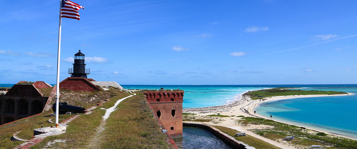
The Tortugas are a remote area; some 70 miles west of Key West and more than 140 miles from mainland Florida. Rules designed to protect the diverse marine life and lush coral reefs of the Tortugas in a no-take Ecological Reserve went into effect on July 1, 2001, in the westernmost waters of the Florida Keys National Marine Sanctuary.
Background
In 1998, the Florida Keys National Marine Sanctuary (FKNMS) initiated a two-year process to create an ecological reserve (ER) or no-take area in the Tortugas area of the sanctuary. The Sanctuary Advisory Council (SAC), a group with broad representation of sanctuary stakeholders, created a Working Group to assist the FKNMS in designing the boundaries for the Tortugas ER. The process was called Tortugas 2000.
A team of physical and social scientists advised the SAC Working Group. Bob Leeworthy, formerly Leader of the Coastal and Ocean Resource Economics Program (CORE) and now Chief Economist of the Office of National Marine Sanctuaries, led the team of social scientists. Thomas Murray of Thomas J. Murray and Associates, Inc., and Manoj Shivlani of the University of Miami, Rosenstiel School of Marine and Atmospheric Science, were hired by CORE to collect information on commercial fisheries; Peter Wiley of CORE led the data collection for recreation industry.
The Study Area
Information on both commercial fisheries and the recreation industry was organized spatially for 1,020 square nautical miles in the area generally known as the Tortugas. The study area was known as the Tortugas Ecological Reserve Study Area, or TERSA. The TERSA surrounded the Dry Tortugas National Park, but did not include the National Park, because the park is not under the jurisdiction of the FKNMS. Thus, the areas to be evaluated for "no-take status" inside the National Park would be evaluated separately. The TERSA did include other areas outside of the jurisdiction of the FKNMS; however, these areas were included for evaluation by the SAC Working Group. The final consensus-based alternative, in fact, required altering the boundaries of the FKNMS.
Socioeconomic Data
All use information for the commercial fisheries and recreation industry was organized at a spatial resolution of square minutes and placed into the ArcView geographic information system (GIS) for mapping and analysis. Working group members were supplied with maps showing the distributions of commercial fisheries catch, and person-days of recreation industry activity.
Recreation industry activity was broken down into consumptive and nonconsumptive recreation. Consumptive recreation included diving for lobster, spearfishing, and hook-and-line fishing. Nonconsumptive recreation included nonconsumptive diving. All of these activities were conducted from 12 charter/party boat (for hire) operations. Outside of the Dry Tortugas National Park, no private household boats were observed in the TERSA.
For the commercial fisheries, separate maps of spiny lobster, reef fish, king mackerel, shrimp, and sharks were developed. Sharks were found not to be an important fishery in the TERSA.
Analysis
CORE developed economic models to estimate the socioeconomic impact of alternative ecological reserve boundaries. Five boundary alternatives were analyzed.