2025

2023
WSCNMS Publishes Two New Maritime Cultural Landscape Studies
Maritime Cultural Landscapes (MCLs) are places where the interactions of culture and nature have resulted in identifiable cultural and ecological imprints. This includes both material and intangible cultural heritage, and the meaning attached to a location by different stakeholder groups. For the Office of National Marine Sanctuaries, MCL studies identify and characterize the unique combinations of archaeological, historical, and cultural elements for each sanctuary, providing a more comprehensive understanding of how we value our marine protected areas.
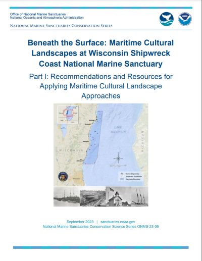
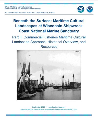
Part I of the WSCNMS study presents key cultural landscape connections unique to the sanctuary, opening possibilities for better stewardship of this special place. Part II takes a deeper dive into commercial fisheries- an important cultural element of the lakeshore along Lake Michigan.
Part I: Recommendations and Resources for Applying Maritime Cultural Landscape Approaches
2022
WSCNMS Publishes Final Report on 2022 Field Research
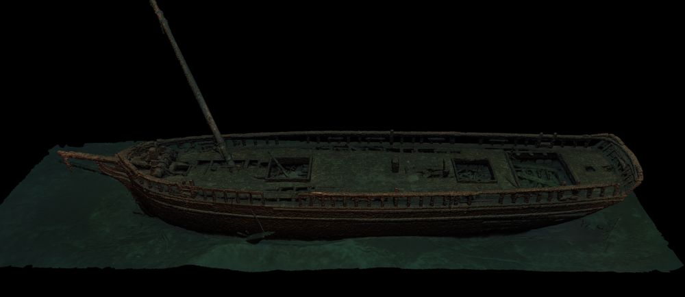
In June 2022, an ONMS team conducted archaeological assessments at 11 shipwreck sites, sonar mapping at 13 sites, and collected 6k video and virtual reality footage. The data supports the sanctuary's resource monitoring, mooring buoy, and education and outreach programs.
Read 2022 Field Research Report
2021
New Technology and the Search for Shipwrecks
Learn more about the project on our Story Map.
With grant funding from NOAA's Office of Exploration and Research, the sanctuary and its partners explored an area off Two Rivers, WI using autonomous technology.
New Real-Time Buoys Enhance Public Safety and Recreation

With grant funding from the Great Lakes Observing Network, the sanctuary installed three real-time wind and wave buoys in the sanctuary, located off Port Washington, Sheboygan, and Two Rivers. The buoys also provide real-time water temperatures at different depths.
Mapping the Sanctuary
NOAA's Office of Coast Survey surveyed about 70 square-miles of the sanctuary. The data will be used to characterize both cultural and natural features in the sanctuary. Once fully processed, the data will be made publicly accessible.
2016 to 2020
Lakebed Characterization
NOAA's National Centers for Ocean and Coastal Science, Office of National Marine Sanctuaries, and Great Lakes Environmental Research Lab began mapping the mid Lake Michigan area to better understand both cultural and natural features. The project involved input from over 20 stakeholders with an interest in mapping data. Among the products are publicly accessible data such as a bio mapper and digital atlas.