Climate Change
Conservation Issue
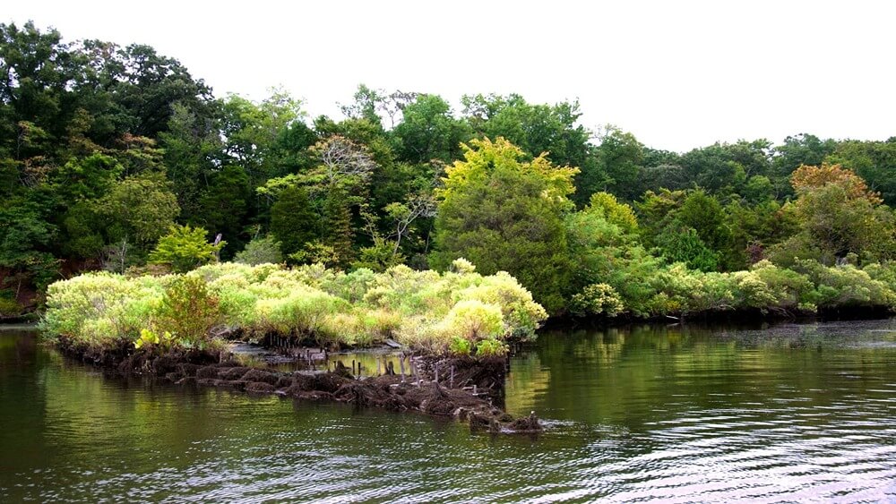
The largely undeveloped landscape and waterscape of Mallows Bay-Potomac River National Marine Sanctuary (MPNMS) have led to its recognition as one of the most ecologically significant areas in Maryland, providing important habitat for fish and wildlife, including rare, threatened, and endangered species. Monitoring the myriad impacts of climate change on the sanctuary’s ecological and maritime heritage resources, including the longevity of sanctuary shipwrecks, is a priority for sanctuary management.
Description
In MPNMS, a changing climate may impact a variety of sanctuary characteristics, including river flow, salinity, biodiversity, and the abundance of non-indigenous species (including those that directly impact shipwrecks, such as Teredo spp. and other wood-boring worms). Climate-driven fluctuations in environmental conditions, ecosystem and habitat changes, loss of species, alterations in water chemistry, and many other issues, including the possibility of increased greenhouse gases from greater visitor vessel traffic, need to be assessed to help guide research and sanctuary planning priorities.
Assessing climate change at MPNMS will require consistent, long-term data collection and observation through field surveys, dedicated research, the use of data buoys, aerial surveys, remote sensing, and other means to measure changes in ecological and environmental conditions over time. The sanctuary may also serve as a sentinel site for climate change research, and individual wrecks have been shown to exhibit micro-climates for study purposes. Both professional researchers and community scientist programs may contribute valuable information for understanding the impact of climate change in MPNMS.
Data and Analysis Needs
- Baseline environmental conditions (e.g., water quality; water chemistry; acidification; dissolved oxygen levels; water temperature and density; conductivity; precipitation; air quality and atmospheric CO2 levels; sea level; substrate chemistry, enzymes, and nutrients)
- Assessment of species and ecosystems present in the sanctuary, and long-term monitoring to identify changes in species abundance and distribution due to climate stressors
- Long-term monitoring to measure storm impacts, sea-level rise, and marsh migration, both around the ships and other parts of the sanctuary
- Regular, sanctuary-wide assessment and monitoring of long-term impacts on heritage resources and dependent living resources
Potential Products
- Maps of current environmental conditions, living resources, and cultural heritage resources
- Reports and presentations describing climate-related changes over time in MPNMS
- Outreach and education products
- Visualizations and story maps
- Models and forecasts
Suggested Scientific Approach and Actions
- Data buoys
- Conductivity, temperature, and depth (CTD) devices
- Measurement of water levels and shoreline (surface elevation tables, real-time kinematic GPS systems, water-level monitoring devices, etc.)
- Air quality index devices
- Biological field sampling
- Community science monitoring
- Aerial (and other remote sensing) surveys of wrecks and land use change
Key Partners and Collaborating Organizations
Maryland Department of Natural Resources ● Chesapeake Bay Sentinel Site Cooperative ● Other NOAA offices (e.g., National Weather Service; NOAA Fisheries; NOAA Research; National Environmental Satellite, Data, and Information Service; Chesapeake Bay Office) ● Potomac River Fisheries Commission ● Research institutions and universities ● U.S. Environmental Protection Agency ● Chesapeake Bay Program ● Chesapeake Conservancy ● Maryland Historical Trust ● Virginia Department of Historic Resources ● Widewater State Park ● Department of Defense
For more information about this assessment, contact mallows.bay@noaa.gov.