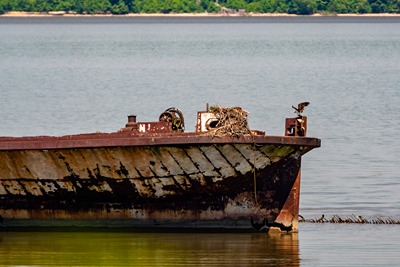
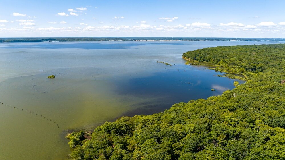
Water Quality
Conservation Issue
Assessing water quality and monitoring any changes both spatially and temporally are important management considerations in Mallows Bay-Potomac River National Marine Sanctuary (MPNMS). Understanding changes in water quality in the sanctuary and surrounding waters is key to protecting the site’s biological and maritime heritage resources.
Description
Pollutants from a variety of sources, including those from land or sanctuary use (e.g., discharge from boaters visiting the sanctuary for recreational, educational, or research purposes), may impact water quality in MPNMS. Additionally, changing ocean conditions have the potential to alter water chemistry within and around the sanctuary. Evaluating water quality throughout the sanctuary will require consistent sampling at multiple locations, the use of data buoys, laboratory analysis of both water chemistry and bacterial contamination, and the public release of data as it pertains to sanctuary uses. Both professional and community scientists may aid in collecting these data.
Data and Analysis Needs
- Repeated measures of water quality parameters at a variety of locations
- Installation of data buoys to collect and transmit water quality data in real time
- Monitoring of bacteria species that may pose human health risks in the sanctuary
Potential Products
- Public-facing, online water quality data repository for various locations (near wrecks and elsewhere) and times
Key Partners
Maryland Department of Natural Resources ● U.S. Environmental Protection Agency ● NOAA Chesapeake Bay Office ● Maryland Historical Trust ● Virginia Department of Historic Resources ● Widewater State Park ● Potomac Riverkeepers ● Department of Defense
For more information about this assessment, contact mallows.bay@noaa.gov.