Impacts of Plane and Ship Groundings and Sinkings
Conservation Issue
Monterey Bay National Marine Sanctuary (MBNMS) management needs to be able to understand the long-term ecological effects of plane and ship groundings and sinkings.
Description
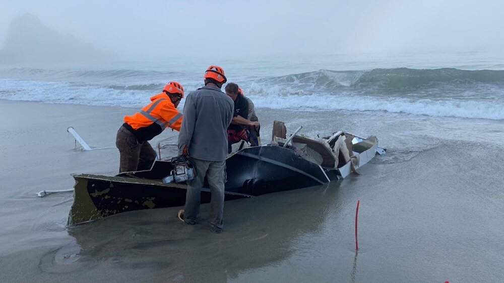
Despite the use of modern navigation aids and safety protocols, major accidents still occasionally befall ships and planes operating above, within, and adjacent to MBNMS. In the case of aircraft or vessels that become grounded or sink to the seafloor in known and accessible locations, after rescue operations are concluded there is usually an initial effort to assess damage to sanctuary habitats and living resources. These efforts have included reports of immediate impacts such as fuel discharge, as well as acute impacts on biology and geology. Qualitative observations have been complemented by quantitative transects to measure the relative abundances of species occupying the disturbed site, adjacent areas, and nearby undisturbed reference areas. Characterization studies of surrounding areas of the MBNMS can be used to describe the types of habitat that are likely to be impacted, and have been referenced in damage assessments. Additional research is needed on the long-term effects that plane and ship groundings and sinkings may have on habitat and biological communities. Long- term monitoring would provide a more complete picture of the ability of affected areas to recover from disturbance, and would also provide information on the timescales at which unrecovered vessels break down and shift location. More extensive follow-up monitoring would also allow managers to communicate persistent hazards affecting other human uses that may persist.
Data and Analysis Needs
- Duration and extent of non-structural effects (such as fluid residuals slowly leaking and chemicals leaching out of systems/cables) when aircraft and vessels remain at the sites where they are lost
- Minimum, maximum, and average length of time it takes for abandoned vessels to break up and disappear
- Effects of aircraft and vessel removal on habitat (i.e., whether disturbed habitats return to a state similar to adjoining habitats following removal)
- Comparison of recovery rates following physical damage vs. damage from oil/diesel
- Time scales for recovery of habitat and biological communities following aircraft/vessel disturbance
- General sampling methods for initial and subsequent visits to an aircraft or vessel sinking or grounding site
- Applications of drones for mapping shoreline grounding debris fields
- Information on whether disturbed habitats are unique or sensitive enough to require mitigation
- Determination of whether disturbed habitat is unique or sensitive enough to require mitigation
Potential Products
- Geological maps of disturbed and surrounding areas
- Photographs, video, and survey maps of disturbed and surrounding areas
- Transect data compiled over time to indicate change and/or recovery to biological communities
- Sanctuary protocols or a “cookbook” for how to conduct initial damage assessments and long-term monitoring on grounding and sinking sites
- Criteria for understanding whether vessel removal will reduce long-term habitat damage
- Strategies for informing fishermen and other ocean users of persistent hazards resulting from aircraft and vessels that remain in the marine environment
Suggested Scientific Approach and Actions
- Visual inspections of grounding and sinking sites with on-site notes
- Digital photographs and video of impacted and surrounding areas, including possible aerial photography from drones
- Characterization of geology and habitat in disturbed and surrounding areas
- Quantitative transects to determine the relative abundance of species occupying primary space
- Integrate work done by marine ecologists with work done by salvage teams to enhance data collection
- Follow-up monitoring to determine long-term recovery rates and assess remaining hazards to the marine environment and human uses
Key Partners
U.S. Coast Guard, U.S. Fish and Wildlife Service, California Department of Fish and Game Office of Spill Prevention and Response, Moss Landing Marine Laboratories, Monterey Bay Aquarium Research Institute, California State University Monterey Bay Institute for Applied Marine Ecology, local law enforcement agencies, salvage firms
For more information about this assessment, contact Karen.Grimmer@noaa.gov.