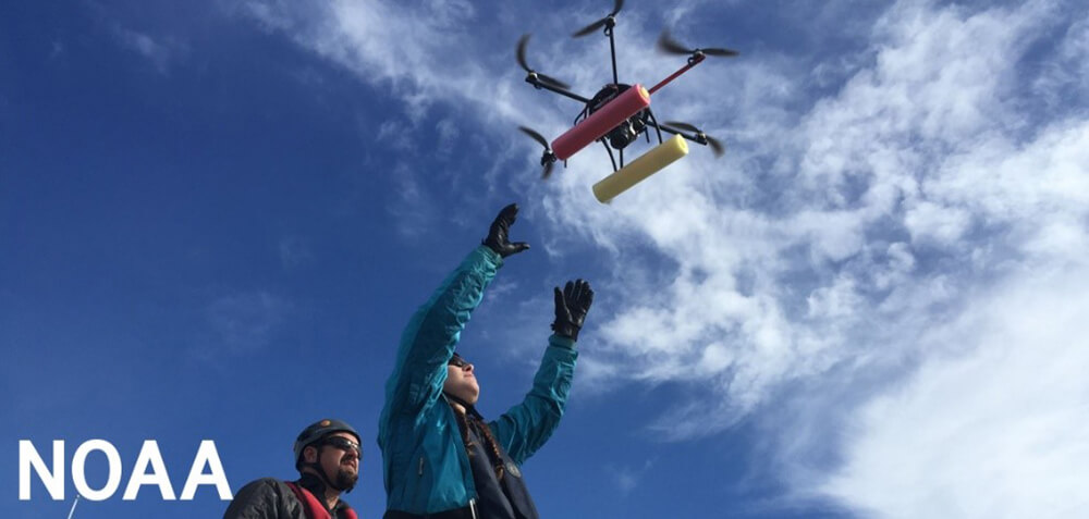
Uncrewed Aircraft Systems
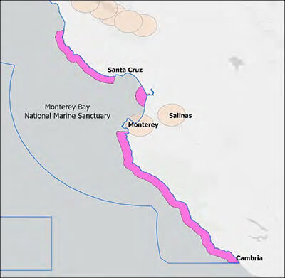
Conservation Issue
There is a need to assess the impacts of uncrewed aircraft systems (UAS) on wildlife, including species sensitivity, geography, UAS size, noise level, flight altitude, and time of year.
Description
Studies indicate that the use of UAS can negatively affect species in a variety of ways, including flushing, abandonment of nests, and disruption of natural behavior. However, some species are not affected, affording opportunities for effective use of UAS for valid management, research, and education purposes.
Data and Analysis Needs
- Spatial distribution of national, regional, and local zoning that restricts or prohibits drone flights (including permit requirements by zone)
- Species that are disturbed by sound and/or sight of UAS and what constitutes disturbance (by species)
- Levels of noise that will disturb species of concern
- Effects of UAS size, shape, and color on species of concern
- Levels to which species or individuals may become habituated to different sizes and shapes of UAS (e.g., does location and history matter)
- Species that are more vulnerable to UAS impacts during particular times of the year (e.g., nesting, breeding, seasons)
Potential Products
- Map of the locations of all current zones restricting or prohibiting drone flights, including national, regional, and local ordinances and permit requirements within each zone
- Wildlife disturbance data sheet for field monitoring by MBNMS staff
- Operations criteria that allow UAS use while avoiding wildlife disturbance
Suggested Scientific Approach and Actions
- Develop comprehensive maps of all restricted and prohibited drone operating areas established by national, regional, and local governments, such as the Federal Aviation Administration (FAA), NOAA, California State Parks, and individual municipalities (e.g., Pacific Grove)
- Ongoing workshops that bring local, state, and federal agencies together to make connections in the community and coordinate best practices and permitting
- Conduct experimental studies to assess the impact of UAS on species of concern
- Gather data from observations and monitoring of permitted activities to determine the effectiveness of permit conditions in limiting or eliminating incidental negative impacts to wildlife by authorized UAS operations
Key Partners
Monterey Bay Aquarium Research Institute, Moss Landing Marine Labs, Monterey Bay Aquarium, National Centers for Coastal Ocean Science, National Marine Fisheries Service, University of California Santa Cruz, Elkhorn Slough National Estuarine Research Reserve, Office of National Marine Sanctuaries, City of Pacific Grove, California Department of Fish and Wildlife, California State University Monterey Bay, Ocean Protection Council, The Nature Conservancy, Stanford University, San Francisco Estuarine Institute, National Park Service, U.S. Fish and Wildlife Service, Bureau of Land Management’s California Coastal National Monument, Bay Net, Central California Black Oystercatcher Project
For more information about this assessment, contact Karen.Grimmer@noaa.gov.