Sand Transport, Erosion, and Coastal Structures
Conservation Issue
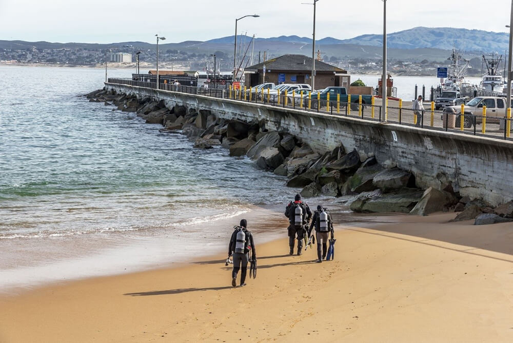
Sand can be transported rapidly within Monterey Bay National Marine Sanctuary (MBNMS) and is important to consider in relation to the installation or removal of any coastal structures. Hard coastal armoring in the sanctuary can potentially damage or alter local coastal habitats, interfere with sediment transport, unintentionally increase erosion, and negatively impact biological resources.
Description
The long-term impacts of coastal armoring projects are poorly understood, yet they have been used extensively along California’s coastline to protect infrastructure and other development from wave action or to avoid coastal erosion. As development increases and natural erosion of coastal bluffs continues, the pressure to install structures to protect private and public property from erosion will continue to increase. To effectively regulate the installation and removal of coastal structures, managers need information on the current locations and impacts of armoring, erosion, and accretion rates for different coastal habitats, alternatives to coastal armoring, and the potential impact of the installation or removal of other coastal structures on sand transport within the sanctuary.
Data and Analysis Needs
- Inventory of all armoring types, approximate ages, and spatial distributions of coastal armoring structures along the MBNMS coast
- Impacts of each type of armoring on sediment dynamics, marine habitats, and public access in different geomorphic and biologic settings along the coast; cumulative effects of multiple structures
- Erosion and/or accretion rates for cliffs, dunes, and beaches, and their spatial and temporal variability
- Prevalence and migration of nearshore sandbars in MBNMS
- Inventory of outfall pipes for potential desalination plants and their effects on sand transport
- Inventory of beach nourishment sites and the fate of their sand within MBNMS
- Alternatives to coastal armoring (e.g., beach nourishment, offshore breakwaters, long-term coastal development planning)
- Magnitude of sand transport and the resulting erosion or accretion of waves
- Sand budget and coastal erosion monitoring within MBNMS following the closure of the CEMEX Sand Mining Plant
- Individual and cumulative impacts of coastal armoring on sand supply dynamics, marine biological habitats and ecosystems, and public access
Potential Products
- Integrated map and database of sediment transport dynamics and coastal armoring sites
- A beach sand budget for MBNMS
- Identify planning sub-regions based on biological sensitivity of habitats, physical and geological factors, and development pressures
- Develop and implement guidelines for identifying sensitive sub-regions, heavily armored areas, and intermediate areas that require thorough case-by-case review
- Link information to the State of California’s Coastal Sediment Management Master Plan, implementing interagency coordination of long-term plans for sensitive sub-regions
Suggested Scientific Approach and Actions
- Characterize individual and cumulative impacts of coastal armoring on sand supply dynamics, marine biological habitats and ecosystems, and public access
- Develop a long-term monitoring program that includes intertidal biological community structure, changes in beach morphology, wave characteristics and refraction patterns, and impacts on sand budget
- Develop a regional, integrated database and GIS layers for coastal armoring, land use types, erosion and replenishment rates, biological habitats, wave characteristics, and geology/geomorphology
Key Partners
California Coastal Commission, U.S. Army Corps of Engineers, U.S. Geological Survey Pacific Coastal and Marine Science Center, City of Monterey, City of Santa Cruz, Moss Landing Harbor District, San Mateo County Harbor District, Santa Cruz Harbor District, Caltrans, Central Coast Wetlands Group
For more information about this assessment, contact Bridget.Hoover@noaa.gov.